
DAYTON — A Wind Advisory goes into effect for all counties except Randolph, Indiana from 9 p.m. until 5 a.m.
[DOWNLOAD: Free WHIO-TV News app for alerts as news breaks]
Storm Center 7 Chief Meteorologist Austin Chaney is tracking this system. He will have the latest impacts LIVE on News Center 7 at 11.
TONIGHT:
The weather will go downhill from late this evening into tonight.
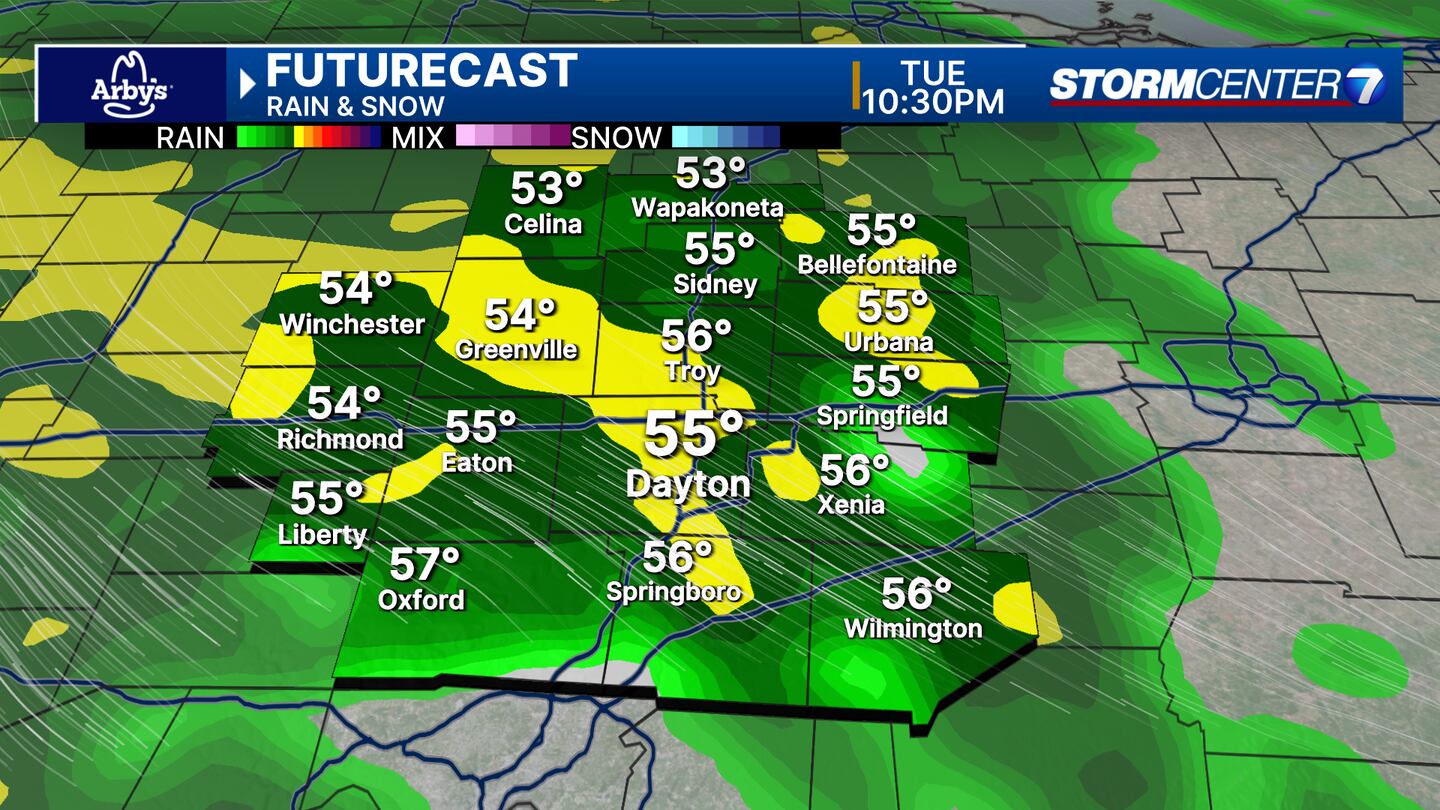
This evening, rain showers may start to clip the Miami Valley as early as 6 or 7 p.m.
The main event arrives after 9 p.m. Rain, strong winds, and isolated thunderstorms are all likely overnight.
Winds could gust to 45MPH.
Severe weather is unlikely, but saturated ground combined with these stronger wind gusts may still lead to a few downed trees and spotty power outages.
TRENDING STORIES:
- Driver killed in Miami County crash identified; 2 others injured
- State troopers ID 56-year-old man killed after semi hits I-75 barrier
- Red Robin may close 70 underperforming locations
WEDNESDAY:
At some point during the evening, we’ll be cold enough to change the rain showers over to snow showers.
Snow showers will continue into early Thursday morning.
It will take a while for the ground to be cold enough for the snow to stick, but eventually a dusting to half an inch will be possible, mainly on the grass. Isolated areas may see 1″ of snow.
THURSDAY:
Snow showers exit, but clouds and flurries may linger for a while Thursday morning.
We will continue to follow this story.
[SIGN UP: WHIO-TV Daily Headlines Newsletter]
©2025 Cox Media Group


