QUICK-LOOK FORECAST:
- One last dangerously cold night
- Warming up through next week
- Rain train rolling in
>> TRACK THE LATEST CONDITIONS: Live Doppler 7 Radar
DETAILED FORECAST:
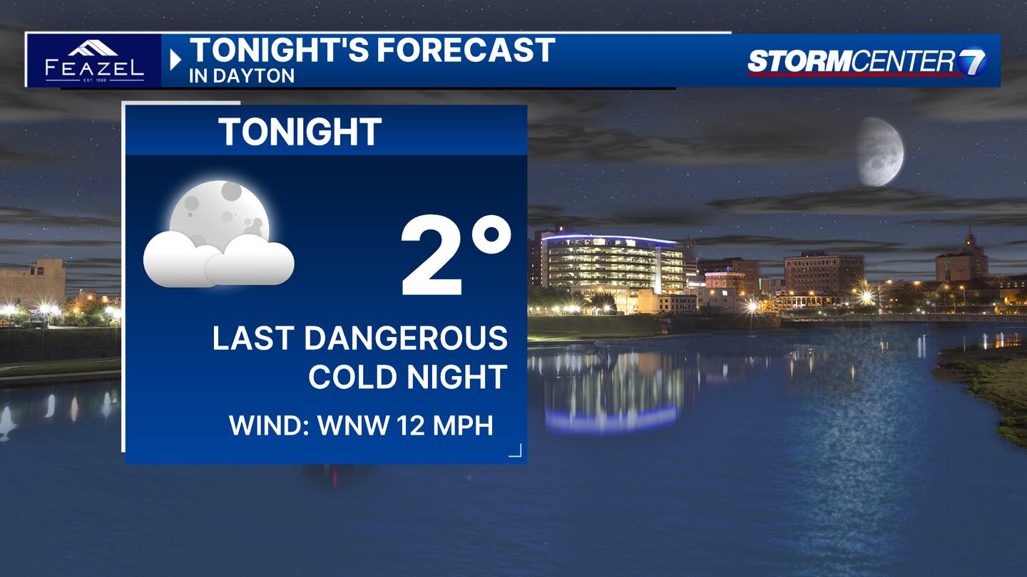
SATURDAY: Partly cloudy skies overnight. Getting very cold with lows in the lower single digits by morning. According to Storm Center 7 Chief Meteorologist Austin Chaney, any wind will drop the ‘feels-like’ temperatures to below zero.
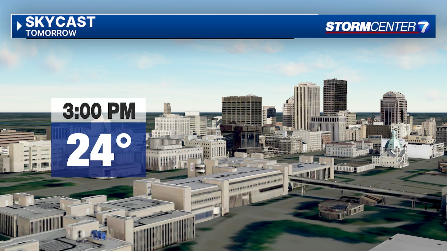
SUNDAY (COLD): Dangerously cold again Sunday morning with wind chills near or below zero. A good bit of sunshine is expected. Staying cold with highs in the mid-20s.
MONDAY: Mostly sunny and not as cold. Highs in the upper 30s which is pretty typical for this time of year. Climbing back above freezing for the first time since January 13th. Overnight, some precipitation moves in, and temperatures may be cold enough for a brief period of freezing rain.
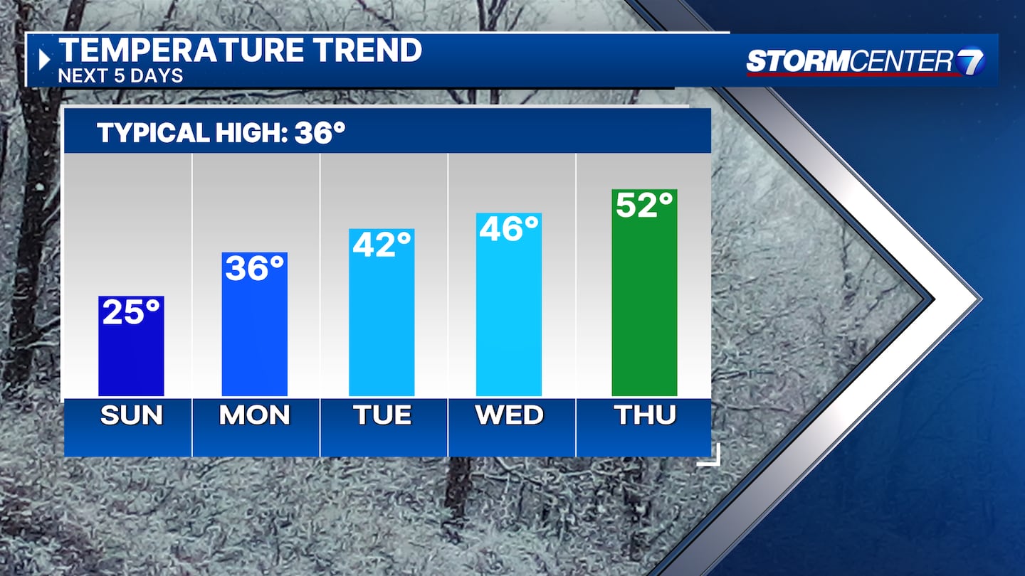
TUESDAY: Cloudy with a chance for rain. There is a brief chance for freezing rain early Tuesday morning before all rain is expected Tuesday afternoon. Highs in the lower 40s.
WEDNESDAY: Cloudy with a chance for showers. Highs in the mid-40s.

THURSDAY: Cloudy with rain likely. Much warmer with highs in the lower 50s.
FRIDAY: Not as wet as the previous few days. Mostly cloudy. Highs in the upper 40s to near 50.

SATURDAY: Staying cloudy with another round of rain possible late in the day. Highs in the mid-40s.
©2024 Cox Media Group