
DAYTON — The Storm Center 7 team is tracking three separate chances for snow this upcoming week. Here’s how it impacts you.
Hey, it’s Storm Center 7 Meteorologist Ryan Marando.
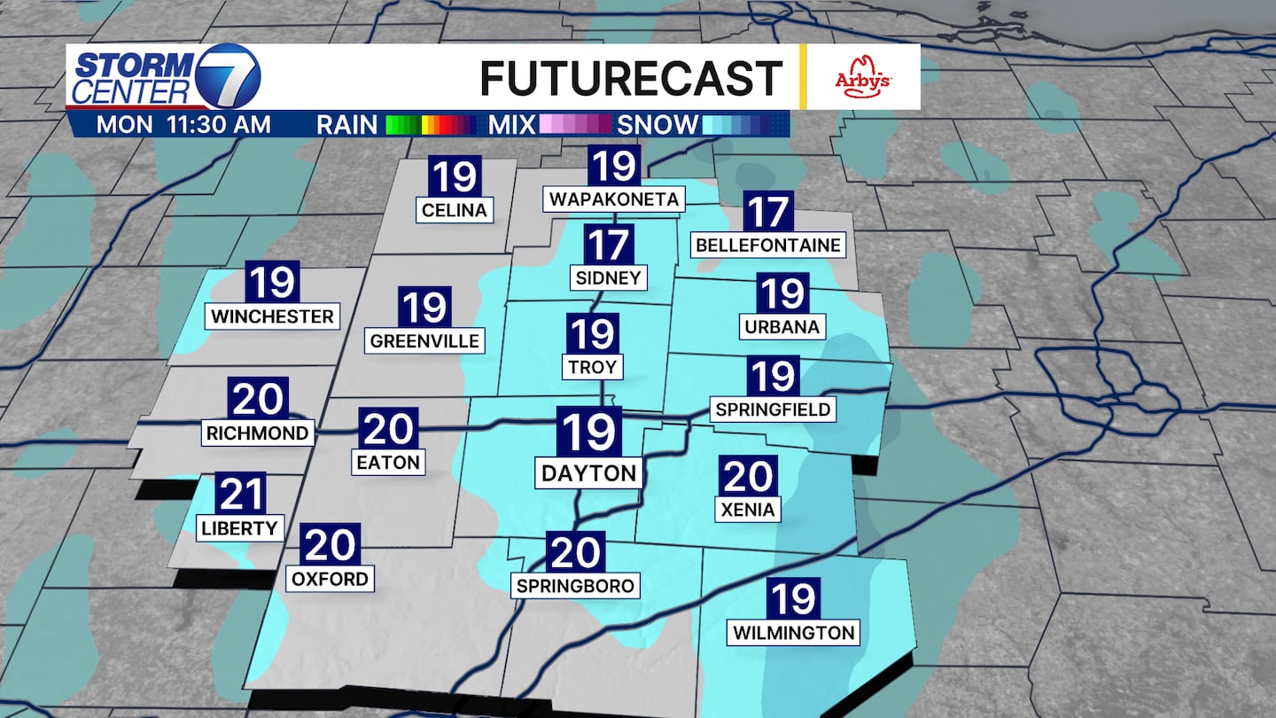
Monday, Groundhog Day, we will likely have a few flurries flying during the mid to late morning hours. Not everyone will see them, but areas that do could get a quick, light coating of snow.
[DOWNLOAD: Free Storm Center 7 Weather app for alerts as news breaks]
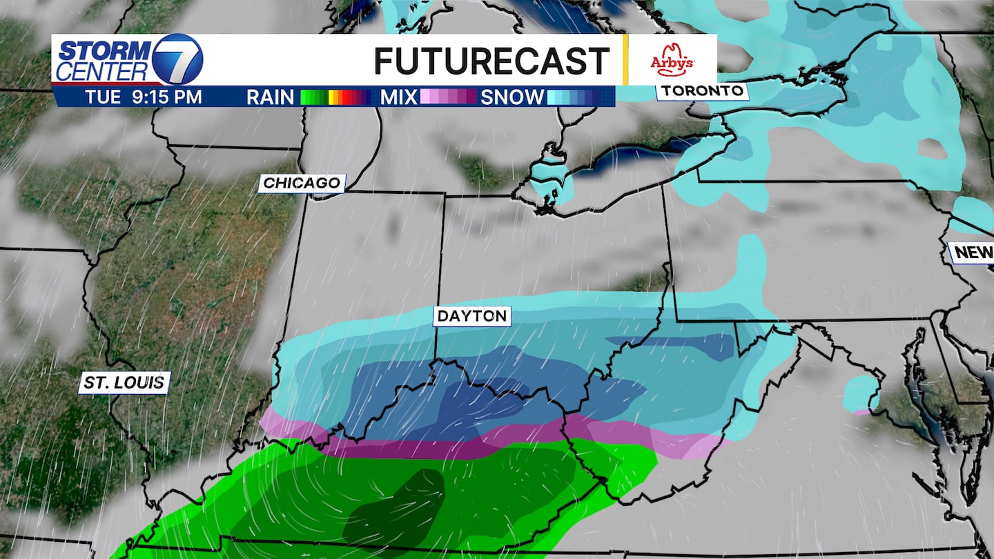
We are watching very closely for the storm track of system two on Tuesday.
The areas that look to get hit with snow by this system seem to be along and south of I-70, where some snow could accumulate to around an inch.
This system looks to move in during the afternoon and evening hours.
[WATCH Storm Center 7 Weather on the following devices]
The third system we are watching is for Friday, where timing and snow accumulation details remain limited as of Sunday morning.
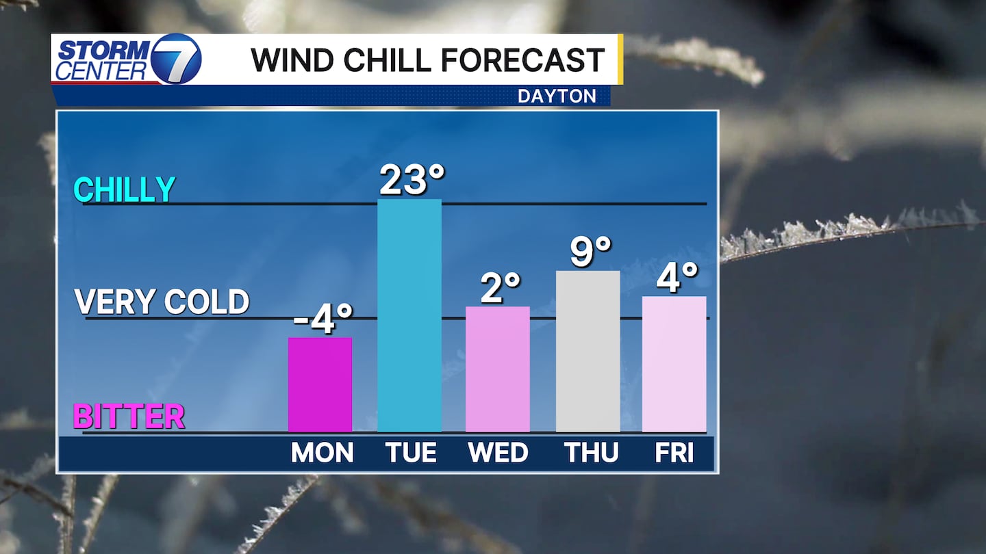
Even though there are multiple chances of snow, some of the cold is improving!
After Monday morning, wind chills each morning should remain above zero degrees in Dayton.
©2026 Cox Media Group


