QUICK-LOOK FORECAST:
- Daily storm chances continue
- Unsettled Holiday Weekend
- Cooler air arrives next week
>>TRACK THE LATEST CONDITIONS: Live Doppler 7 Radar
DETAILED FORECAST:
THURSDAY: Partly cloudy skies as we go through this evening. A few showers or thunderstorms may bubble up before all is said and done. Best chance for rain this evening will be along and south of I-70. Tonight, partly cloudy with perhaps some patchy fog. Lows in the lower 60s.
FRIDAY: Mostly sunny early with more clouds late in the day. By Friday evening, we’ll be tracking storms to our west which will be weakening upon approaching the Miami Valley.
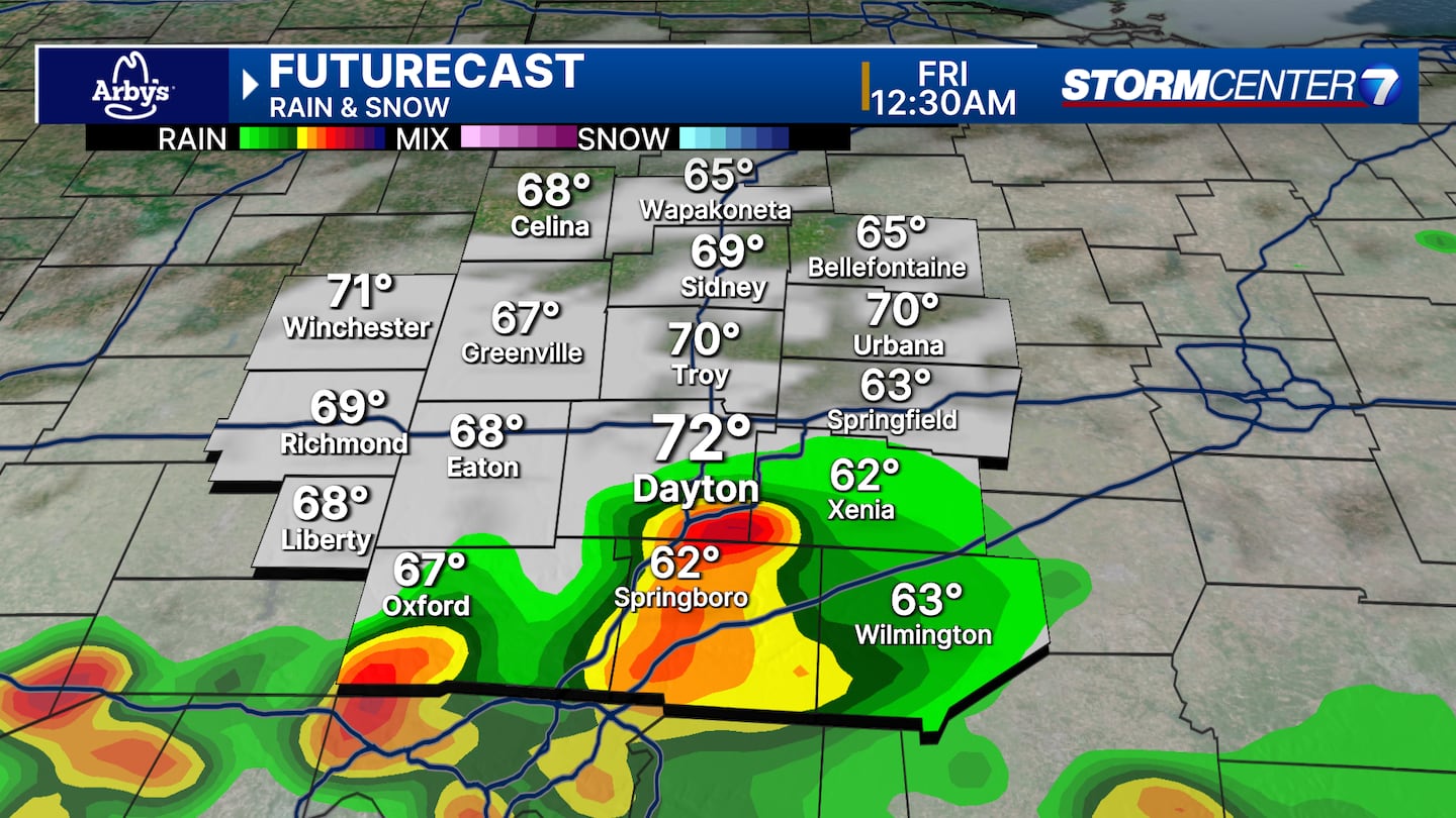
These could move in after 7-8PM tomorrow. The Storm Prediction Center indicates a level 1/5 risk for severe storms, mainly for the off chance that a strong storm with damaging winds makes it into the Miami Valley. High temperatures reach the lower 80s.

SATURDAY: Partly cloudy with a chance of an isolated shower or storm. Highs in the lower 80s.
SUNDAY: Showers and storms looking more likely. While not set in stone, we are monitoring the chance of a few stronger storms on Sunday. Highs around 80 degrees.
MONDAY (MEMORIAL DAY): Partly cloudy with a chance for showers. An isolated thunderstorm is also possible. Highs in the upper 70s.
TUESDAY: Partly cloudy with another chance for showers. Cooler with highs in the lower 70s.
WEDNESDAY: Partly cloudy. Looking like a dry day for now. Highs in the low to mid-70s.
THURSDAY: Sunny and comfortable weather with highs in the low to mid-70s.
©2024 Cox Media Group


