QUICK-LOOK FORECAST:
- Quiet end to the week
- Next rain chance Friday afternoon
- More warmth arrives this weekend
>> TRACK THE LATEST CONDITIONS: Live Doppler 7 Radar
DETAILED FORECAST:
THURSDAY: Quiet weather continues through tonight. We may see some high-level cloud cover start to arrive by early Friday morning, but no chance for rain yet. Cold overnight with lows on either side of 30 degrees. Any wind out there will make it feel a bit colder.

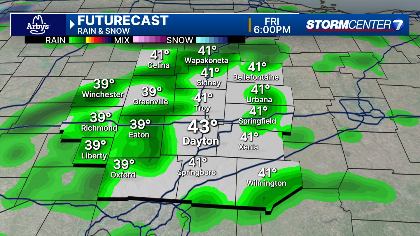
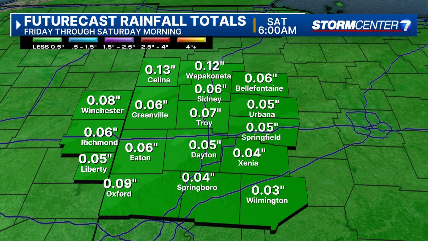
FRIDAY: Increasing clouds with a chance for showers into Friday afternoon. Rainfall totals will be very light only around 1/10″ or so. Highs in the mid to upper 40s.
SATURDAY: Morning clouds and the chance for a lingering shower Saturday morning. Cloud breaks up a bit into the afternoon with highs in the mid-50s.
SUNDAY: Mostly sunny, warm and breezy. Highs climbing to the upper 60s.
MONDAY: Increasing clouds but still warm and breezy. Low 70s for highs! Our current forecast calls for a high of 72. That wouldn’t quite come close to the record of 77, but it would still be way above the typical high of 47. Dry during the day but a few showers are possible at night.

TUESDAY: Tuesday and Wednesday bring timing and strength issues between the model guidance. For now, we’ll call it a chance for showers on Tuesday with the possibility of an isolated thunderstorm. Highs in the low to mid-60s.
WEDNESDAY: A chance for showers with highs in the upper 50s.
THURSDAY: Drying out but remaining mostly cloudy. Temperatures will be cooler with highs in the low 50s.
©2024 Cox Media Group


