QUICK-LOOK FORECAST:
- Above normal temps through Wednesday
- Tracking a few small rain chances
- Turning colder later this week
>>TRACK THE LATEST CONDITIONS: Live Doppler 7 Radar
FULL FORECAST:
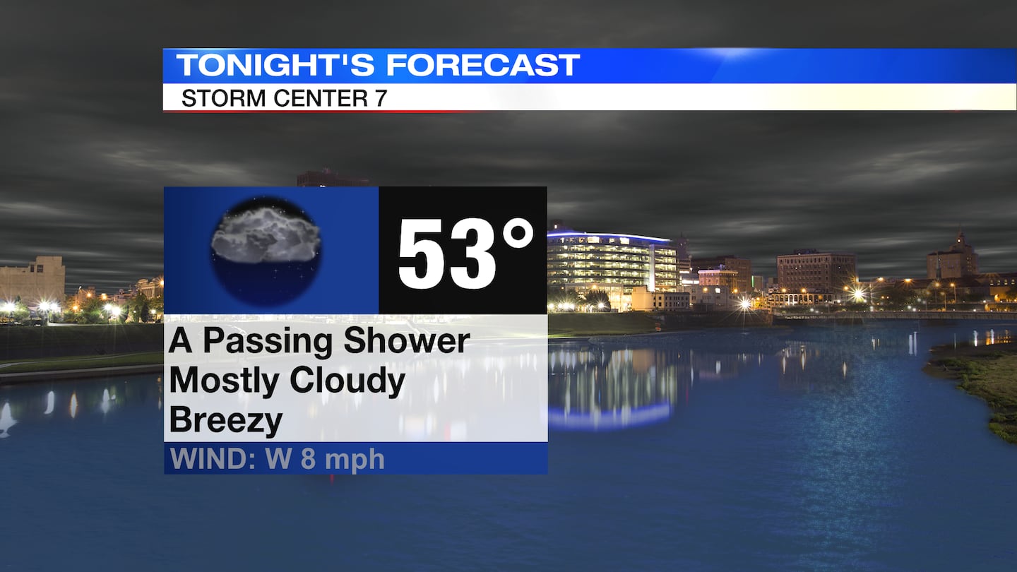
TONIGHT: Clouds thicken ahead of an approaching cold front, according to Storm Center Chief Meteorologist Austin Chaney. This front may bring us a few light rain showers after sunset tonight. Breezy. Some gusts to 25+MPH through sunset, gradually decreasing throughout the night. Temperatures fall from the upper 60s and lower 70s this evening to the lower 50s overnight.
TUESDAY: Clouds early with more sun as the day goes on. Dry during the day. Highs will range from the upper 50s across the northern Miami Valley to the mid-60s from Dayton and points south. A chance for showers returns late Tuesday night into early Wednesday.

WEDNESDAY: A chance for showers very early in the day, then mainly dry. Rain will be light where it falls. Mostly cloudy. Highs climbing to the upper 60s and even lower 70s thanks to a stiff southerly breeze.
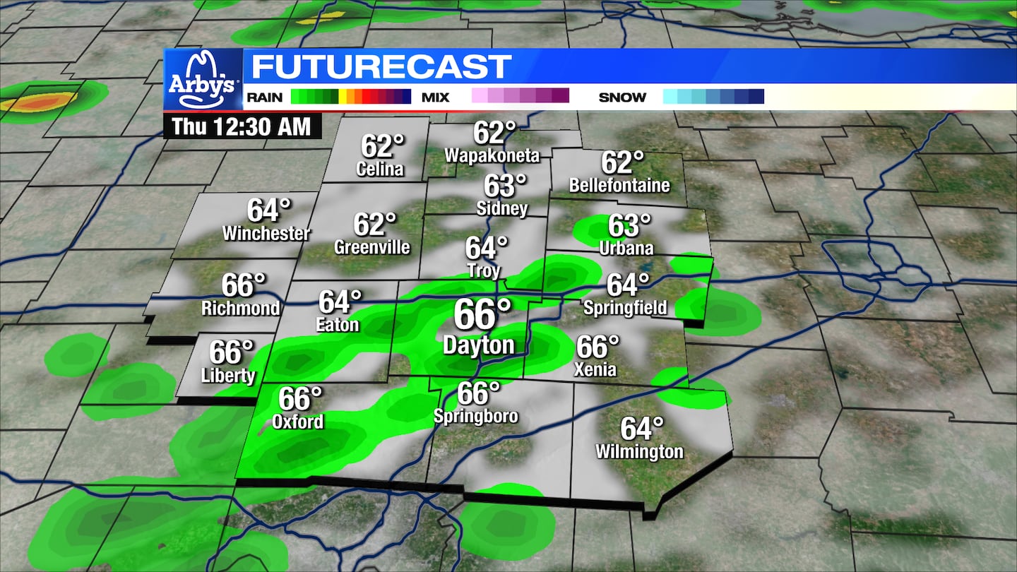
THURSDAY: An isolated shower early, then mostly cloudy. Cooler. We’ll start the day in the mid 50s and we probably don’t warm much at all into the afternoon.
FRIDAY: Mostly sunny and cooler Friday. Highs only around 50.
SATURDAY: Mostly sunny and chilly with lows near freezing and highs in the low 50s.
SUNDAY: Mostly sunny and chilly with lows near freezing and highs in the low 50s.
MONDAY: Similar to the weekend. Plenty of sunshine. A cold morning gives way to highs in the mid 50s.
©2023 Cox Media Group


