A Heat Advisory has been issued for Butler and Warren counties from 1 p.m. until 9 p.m.
QUICK-LOOK FORECAST:
- Few more storms possible this evening into tonight
- Few showers, but only low storm chances Thursday
- Weekend looking drier, cooler
>>TRACK THE LATEST CONDITIONS: Live Doppler 7 Radar
DETAILED FORECAST:
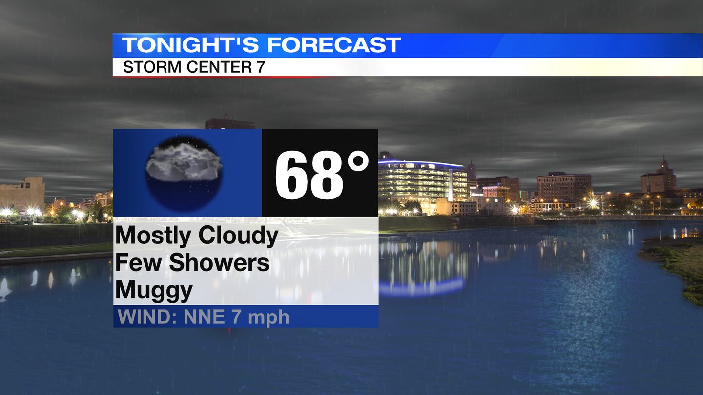
TODAY: The main severe weather chance for the day has come to an end. Through this evening, a few pop up downpours and thunderstorms may redevelop, but the overall severe weather risk looks low. Temperatures fall to the upper 60s overnight.
THURSDAY: Still warm and muggy on Thursday, but storm chances look a bit lower than the previous few days. Partly to mostly cloudy with a few pop up showers. Highs will reach the middle 80s.


FRIDAY: Partly sunny with chances for thunderstorms, especially before mid afternoon. Drying out into the evening. Highs climb to the lower 80s.
SATURDAY: Partly sunny skies with some cooler temperatures and lower humidity. Highs in the low 80s.
SUNDAY: Mostly sunny. Highs in the mid 80s.
MONDAY: Mostly sunny and warmer with highs in the upper 80s.
TUESDAY: Partly sunny and hot with highs in the upper 80. A chance for showers and thunderstorms arrives by afternoon.
WEDNESDAY: Partly sunny and warm with highs int he middle 80s. A few showers or storms may pop up.
©2022 Cox Media Group


