
DAYTON — Good Sunday afternoon, everyone. Meteorologist Nick Dunn here with you to discuss the upcoming week’s forecast. It was a nice end to the weekend as expected. A little breezy at times, but that helped temperatures climb into the 60s.
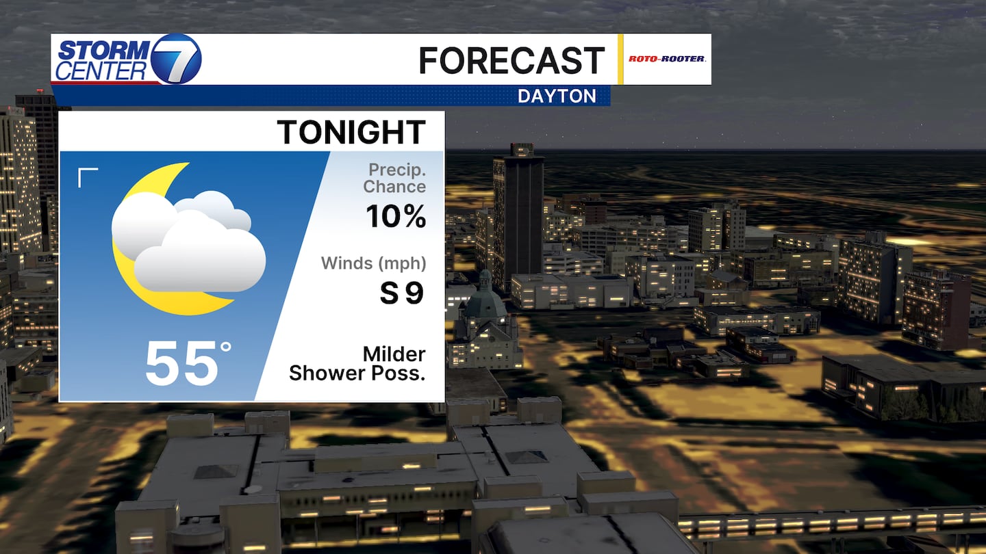
Tonight we drop back into the middle 50s for an overnight low. Cloud cover will be thicker and a stray sprinkle is possible. Most are dry tonight with a south wind keeping us mild.
[DOWNLOAD: Free Storm Center 7 Weather app for alerts as news breaks]
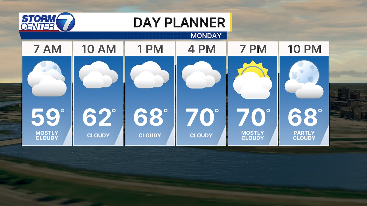
For Monday we climb into the lower 70s with a mostly cloudy sky. A few extra peeks of sunshine could bump temperatures up a couple more degrees. I have 72 as the high Monday for Dayton and Tuesday we will make a run towards 80 degrees.

Wind gusts will be elevated through this week as we will find gusts of 30-40mph during the daytime hours through at least Thursday. A few gusts on Tuesday may exceed 40 miles per hour.
[WATCH Storm Center 7 Weather on the following devices]
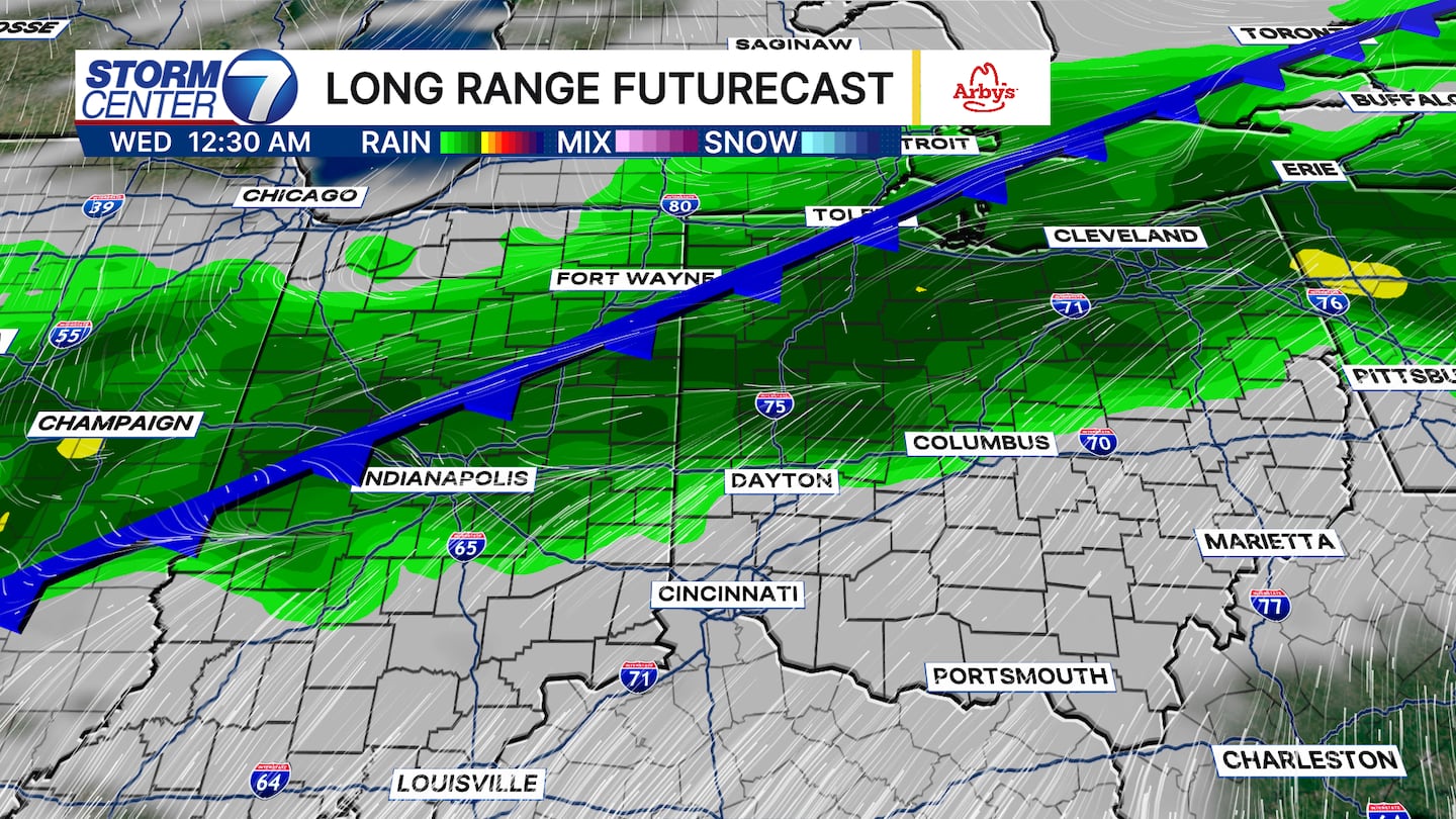
A cold front slides in early Wednesday with showers and perhaps a few thunderstorms. The exact placement of how this front evolves is a bit uncertain. However, the front will stall to our south by early Thursday before retreating northward again by Thursday afternoon.
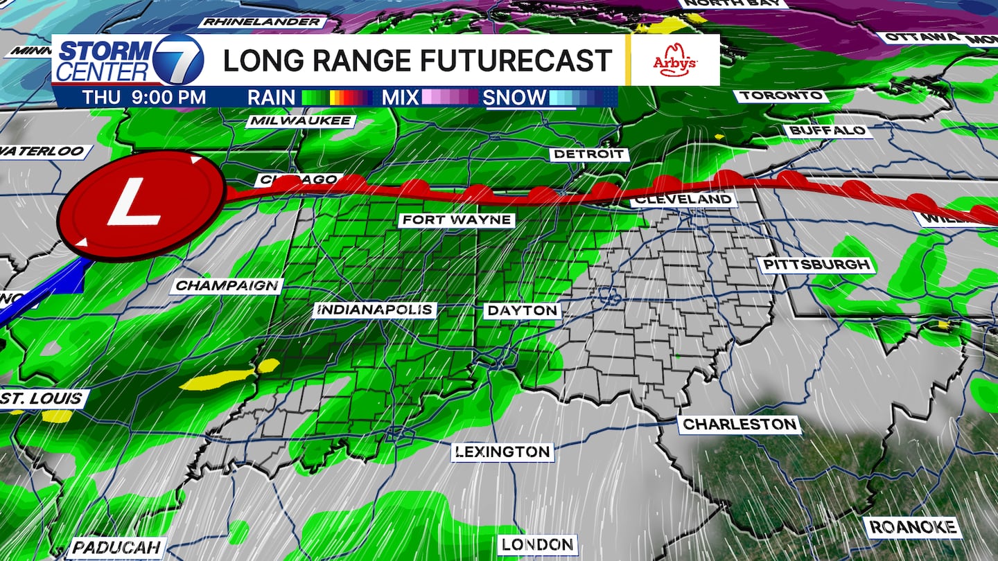
Additional shower and thunderstorm chances can be expected from Thursday through the end of the week. However, timing and intensity of each chance is a bit tricky this far in advance. There are no overwhelming signs of significant severe weather or anything like that right now. I think the biggest concern that may evolve is the threat of repeated rounds of rain leading to minor flooding. The opportunity for 1 to 2 inches or more of rain exists by the time we get to next weekend.
©2026 Cox Media Group


