
MIAMI VALLEY — This weekend, the Miami Valley could deal with its first weather chance of the “spring” season.
[DOWNLOAD: Free WHIO-TV News app for alerts as news breaks]
Storm Center 7 is tracking the system and will have the new timing and impacts during News Center 7 at 5:00 and 6:00.
TRENDING STORIES:
- Police looking for 32-year-old man connected to shooting that killed Miamisburg woman
- CareFlight flies student to hospital after recess injury in Champaign County
- Ohio police chief on paid leave after sexual harassment allegations
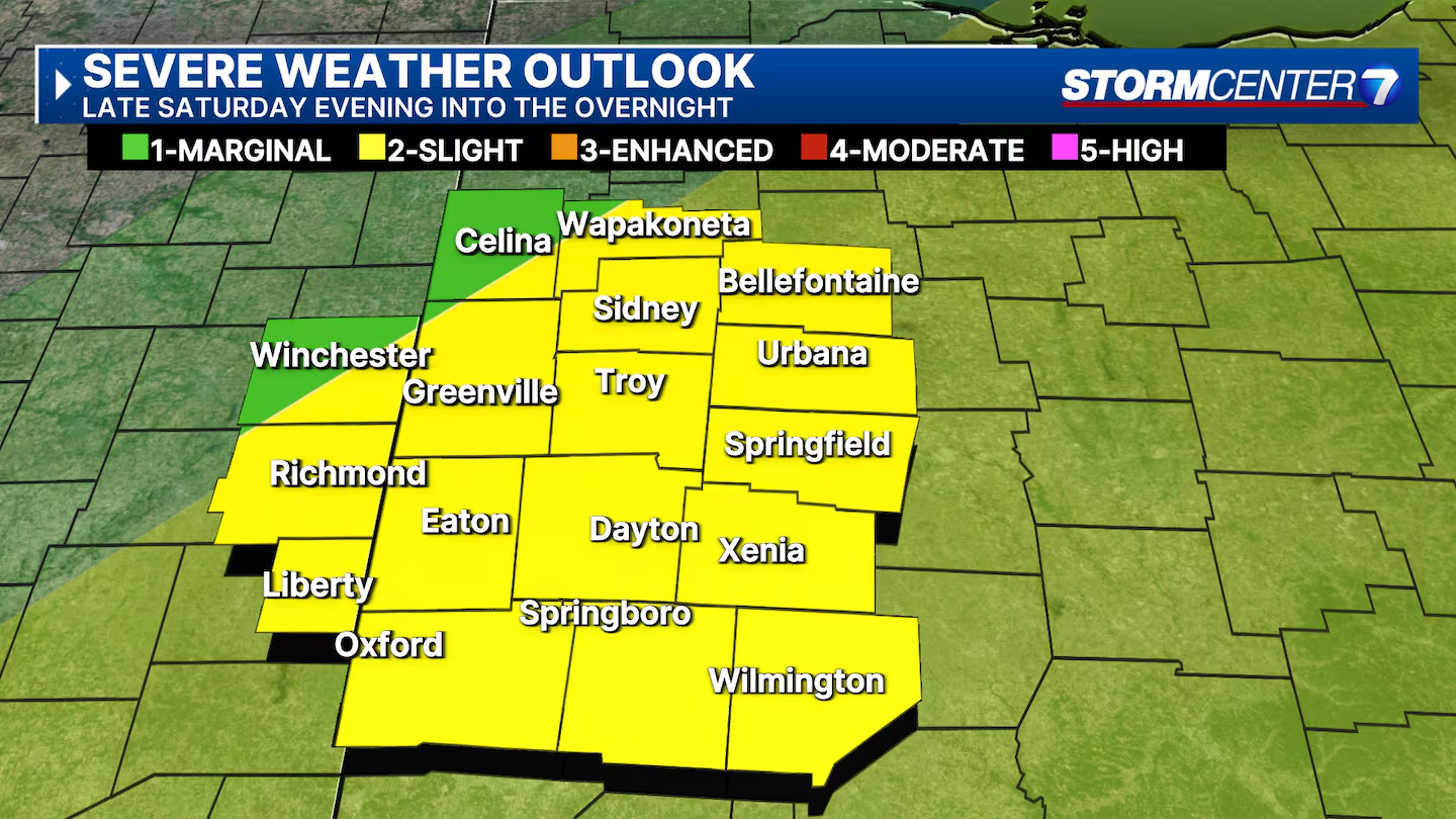
Two rounds of storms are possible on Saturday.
One round is expected in the early morning hours of Saturday morning and then another round, which could be more intense is expected to hit Saturday evening into the overnight hours.
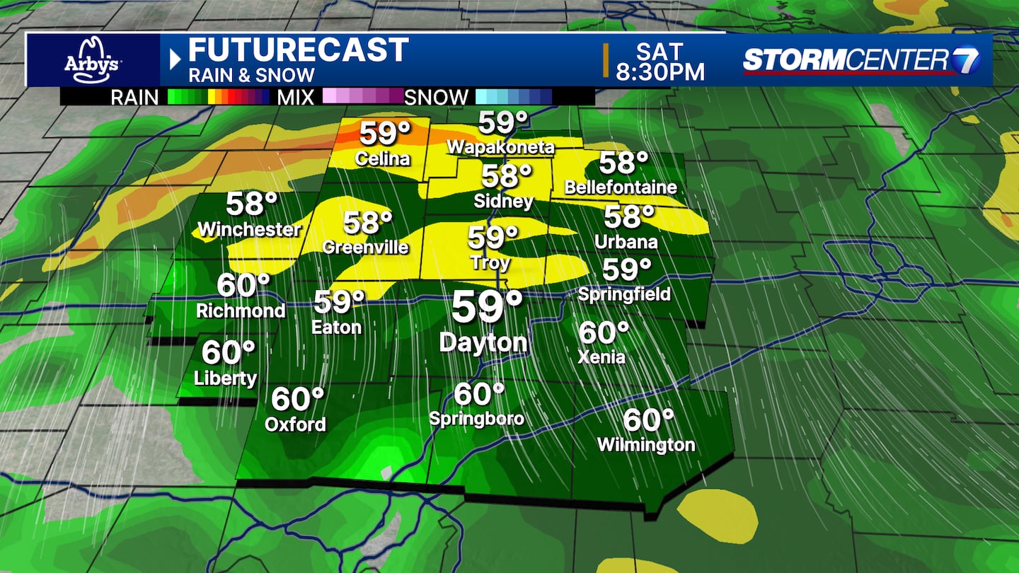
Early Saturday morning, a line of thunderstorms moves into the Miami Valley. The time frame of these storms is roughly 3 AM - 8 AM. Heavy rain, occasional cloud-to-ground lightning, and gusty winds look to be the main issues. An isolated storm may have damaging winds. Hail and tornadoes are unlikely during the morning round.
During the daytime hours on Saturday, partly cloudy, warm, and breezy. Isolated thunderstorms may develop. The chance of rain during the day is quite low at 20-30%, but any storm that develops during the day may be strong to severe. Damaging winds, isolated hail, or isolated tornado threats are possible during this window.
Overnight Saturday into Sunday morning, these storms are roughly 7 PM - 3 AM. Another widespread round of rain and storms is expected. Heavy rain and damaging wind gusts will be the main concerns here. Hail is unlikely during this timeframe. An isolated tornado cannot be ruled out.
Multiple rounds of heavy rainfall may lead to flash flooding. This is most likely late Saturday into early Sunday where we may pick up 2″ of rain in a 6-hour period. It will be windy from Friday evening through Sunday morning.
Wind gusts not associated with thunderstorms may exceed 45MPH at times. Prolonged strong wind gusts may eventually lead to downed trees and spotty power outages. Due to the extended stretch of inconvenient weather Friday night through Sunday morning, we’ve put out a STORM TRACKING ALERT for Saturday.

[SIGN UP: WHIO-TV Daily Headlines Newsletter]
Sunday will bring cooler temperatures with lingering showers. There is no threat for severe weather behind the front, and highs will be in the lower 50s.
Drier weather returns for St. Patrick’s Day with highs in the lower 50s.
©2025 Cox Media Group


