
DAYTON — After the cold front that gave a few of us storms on Tuesday afternoon, a high-pressure system has moved in right behind it and settled just to the north of us.
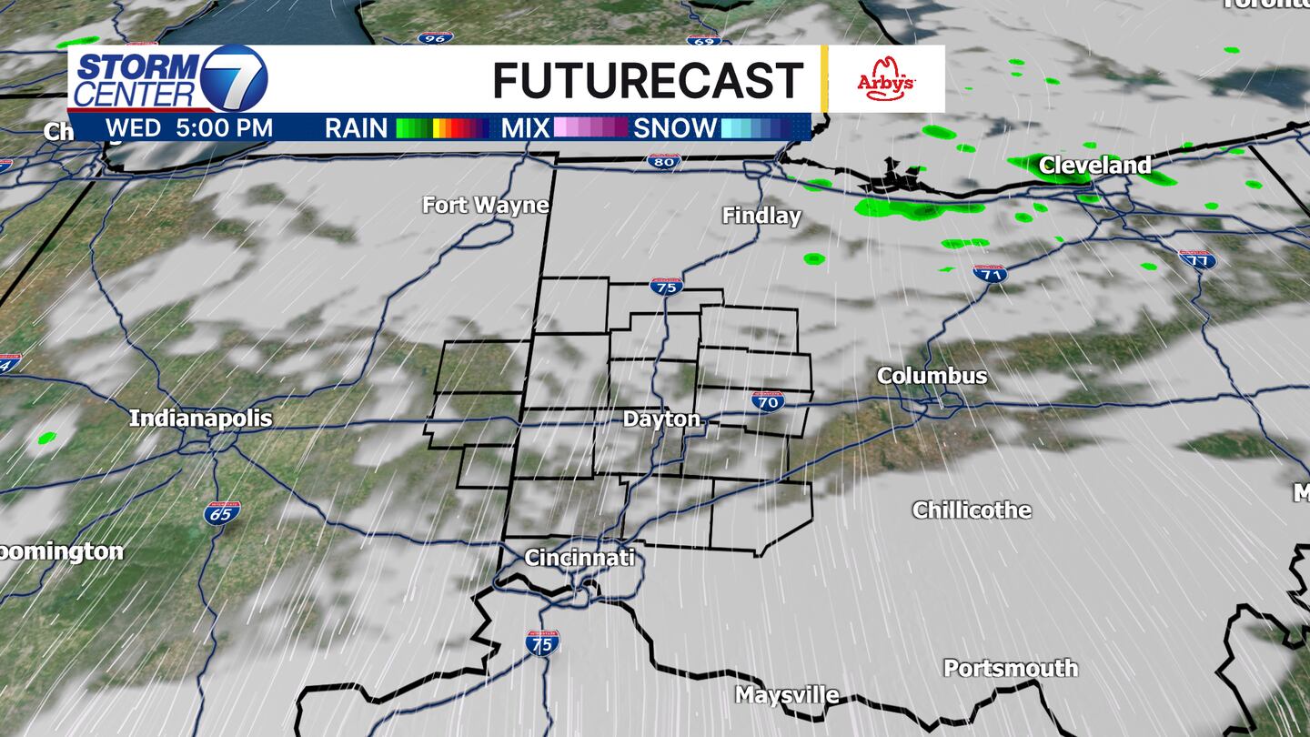
Winds are clockwise around a high-pressure system, which means our winds are coming from the northeast. Northeast winds are bringing temperatures way down, but they’re also drawing in moisture off the Great Lakes.
[DOWNLOAD: Free WHIO-TV News app for alerts as news breaks]
TRENDING STORIES:
- 60-year-old man seriously injured in motorcycle crash on I-70
- City reveals renderings for major renovation of shopping plaza
- Wright-Patt to host active shooting training today
This means while our wind direction says out of the northeast, it is going to be tough to shake the clouds. Areas south of Dayton will likely see more breaks of clouds in the afternoons through the rest of the work week.
Although more peeks of blue sky should be out there in the afternoon hours.
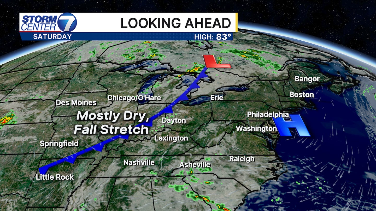
Friday will likely have more sun than clouds as the winds begin to shift out of the south. An approaching cold front that is mostly dry will move in on Saturday evening, which will filter in some of the coolest air since the end of May.
[SIGN UP: WHIO-TV Daily Headlines Newsletter]
©2025 Cox Media Group


