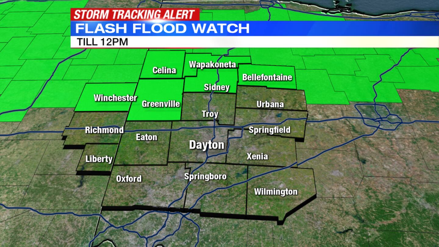
Flash Flood warning has been issued for Champaign County until 4:15 a.m. and Flash Flood watch has been cancelled for Clark, Logan, Miami, Shelby and Wayne counties.
QUICK-LOOK FORECAST
- Showers and storms develop, continue overnight
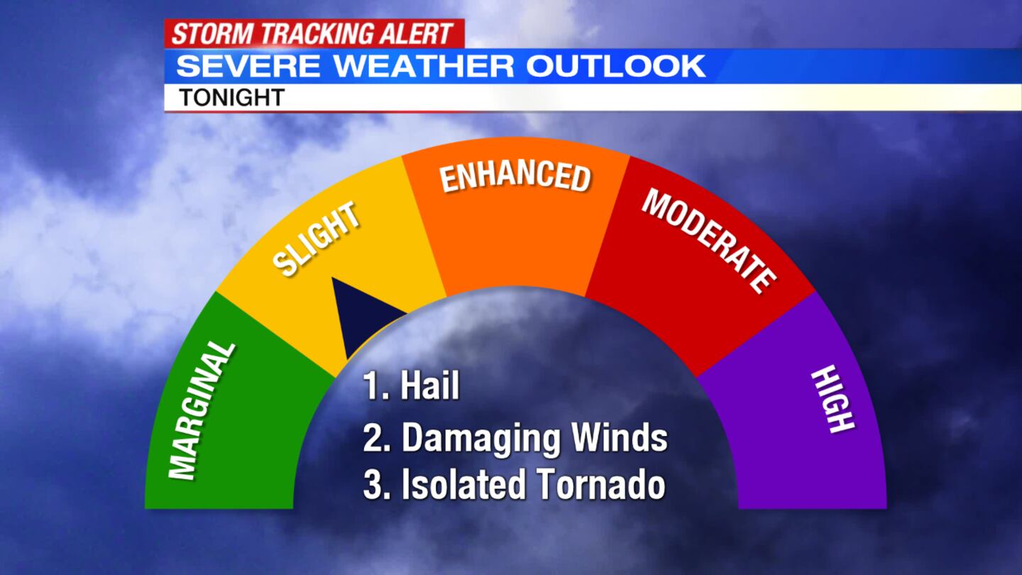
- Severe storms possible now until Sunday morning
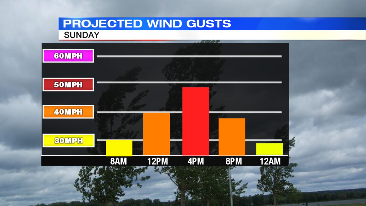
- Windy Sunday
>> Live Doppler 7 Interactive Radar
DETAILED FORECAST
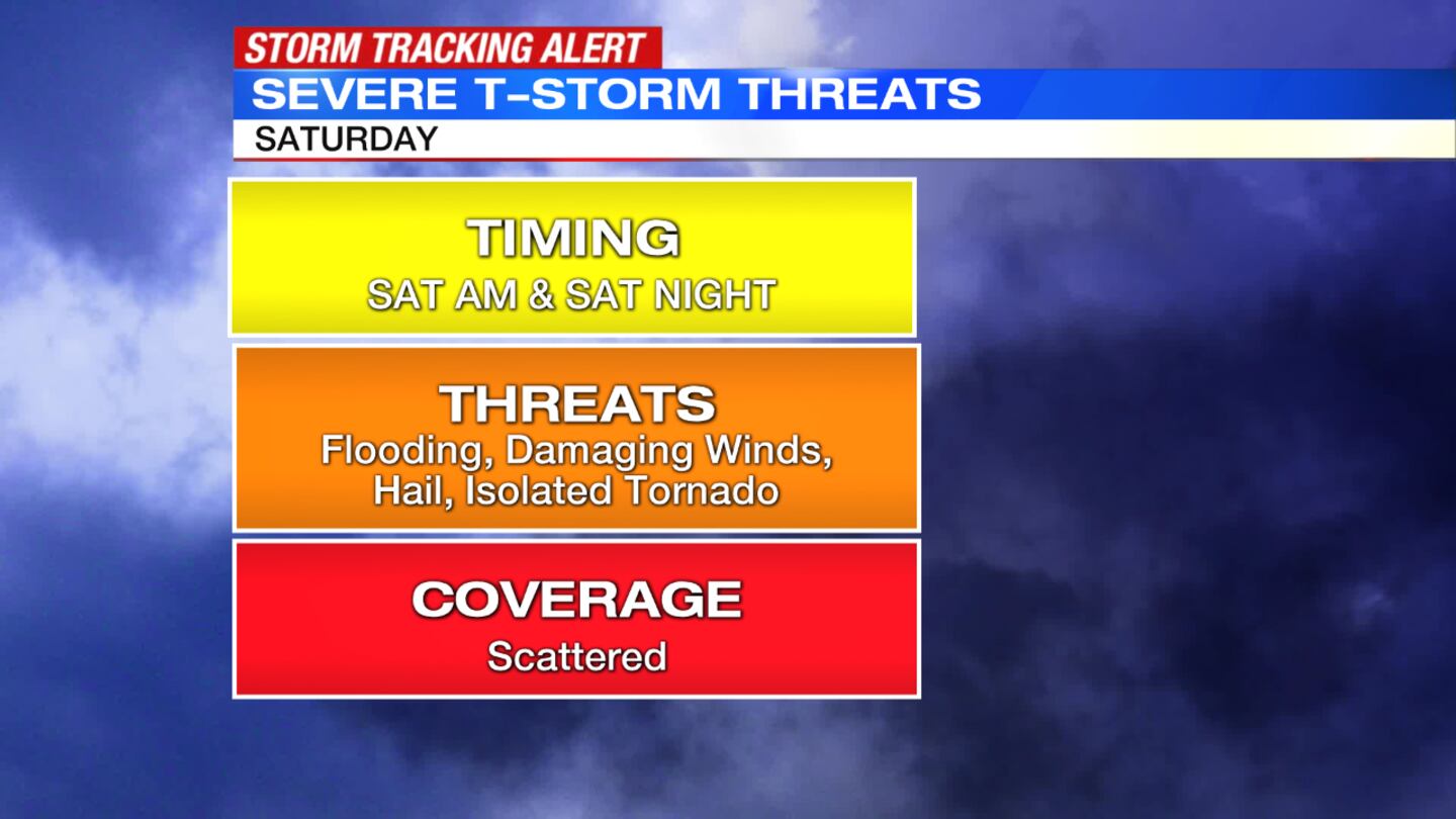
OVERNIGHT: Showers and storms continue overnight. Some storms may become severe with damaging winds, hail and flooding being the primary threats. An isolated tornado is also possible. Overnight lows dip into the middle 50s. Showers and storms will taper as we head closer to sunrise.
>>Severe Weather Awareness Week: What you should have in your kit when severe weather arrives
>> Wet weather driving safety: What you need to know
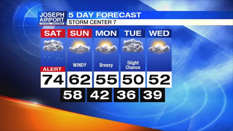
SUNDAY: Showers will end around sunrise, so the day will be dry. We will see some clouds and cooler conditions with highs in the lower 60s. Gusty winds 40-50 mph will be possible though through the day. Some minor tree damage could develop.
>>What are the ingredients for severe weather?
MONDAY: A nice start to the week with mainly sunny skies and breezy with highs in the mid 50s.
TUESDAY: Cloudy, but dry for most of the day. Showers will return late in the day especially across the southern parts of the Miami Valley. Highs near 50.
WEDNESDAY: Partly sunny and seasonable. Highs in the lower to middle 50s