
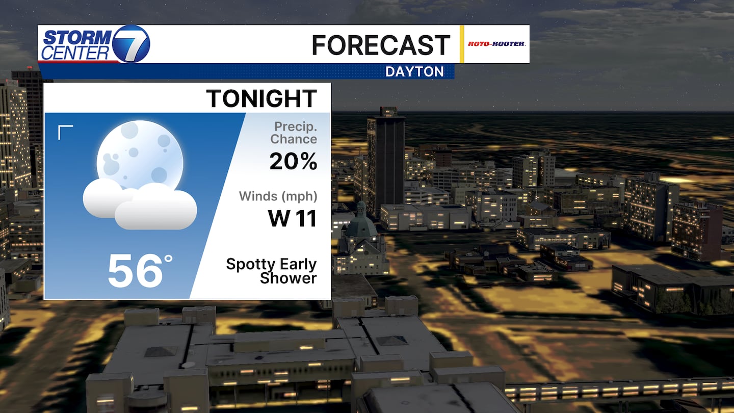
DAYTON — Good evening to you on this Saturday. Meteorologist Nick Dunn here with you on what has been a relatively nice day as highs reached the upper 70s. A few showers will exit early this evening to set us up with another cool June night.
[DOWNLOAD: Free Storm Center 7 Weather app for alerts as news breaks]
Sunday features plenty of dry time and that is great with Father’s Day activities you might have planned. However, we will need to watch for a risk of strong to severe storms Sunday night from 8PM to 2AM. There are some handling issues with placement of the heaviest storms, however let’s remain aware of the conditions and note some changes are possible.
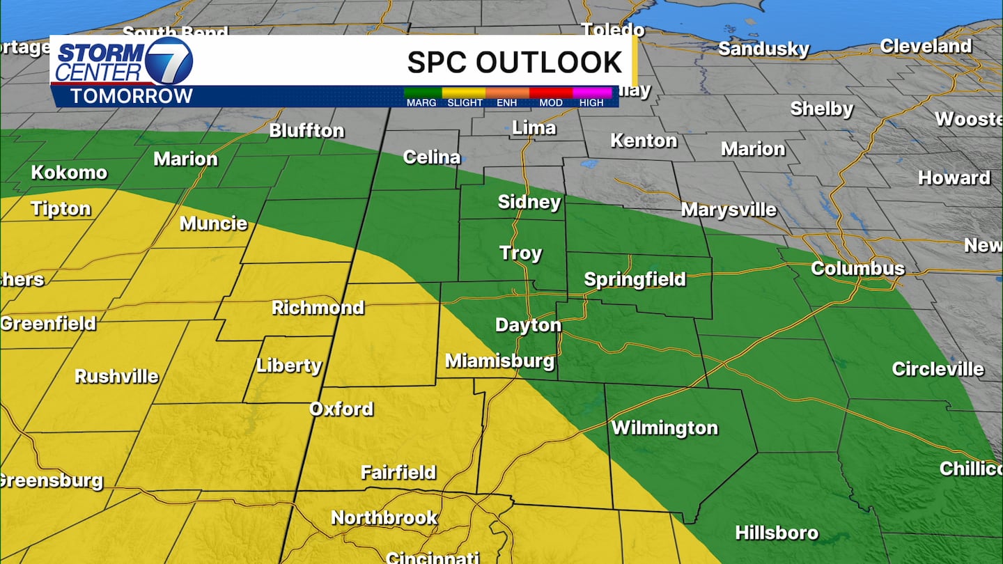
The Storm Prediction Center upgraded those south and west of Dayton to a Level 2 (Slight) risk of severe storms. The main threats would be a spotty damaging wind gust or a brief tornado. We may dodge the worst of it once again with better chances of severe storms just to our west based on the current data.
[WATCH Storm Center 7 Weather on the following devices]

Futurecast has a messy solution on tap right now with showers, storms, and locally heavy rainfall. We will watch trends closely as we navigate through Sunday. Those who get the heaviest rain could see 1 to 2 inches or more.
©2026 Cox Media Group


