QUICK-LOOK FORECAST:
- Getting even hotter Tuesday
- Tracking showers / storms Wednesday
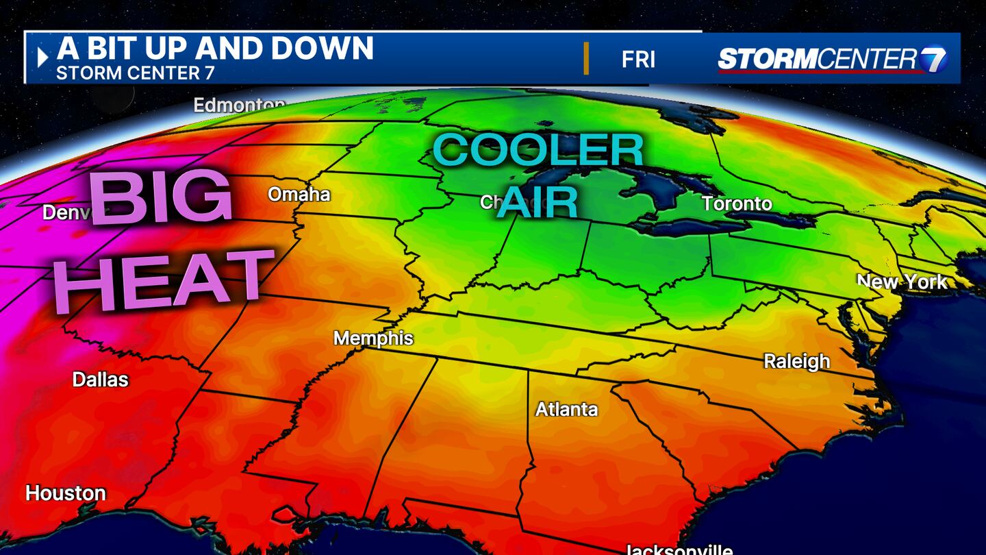
- Late-week cool down
>>TRACK THE LATEST CONDITIONS: Live Doppler 7 Radar
DETAILED FORECAST:
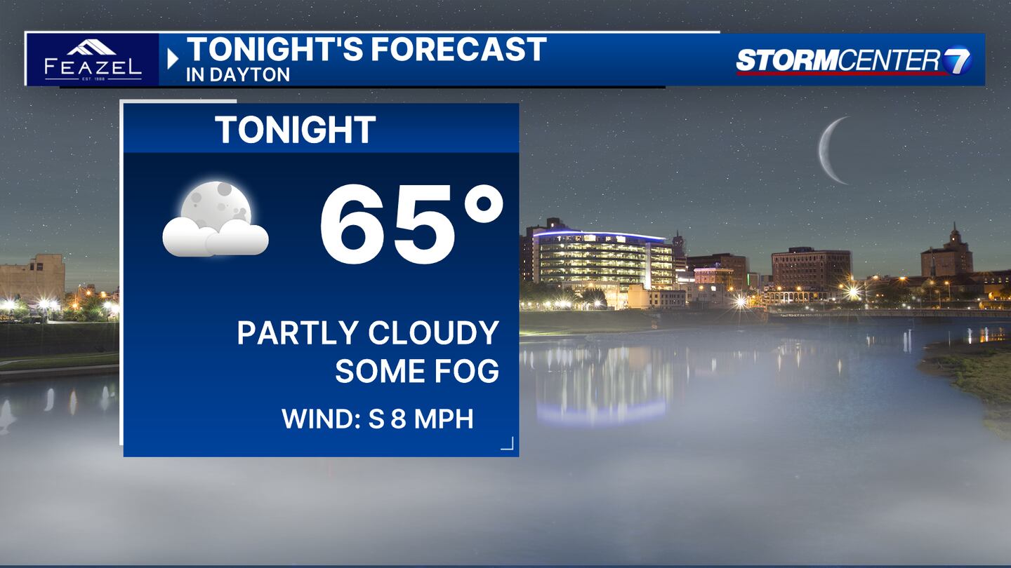
MONDAY: It should be a nice evening. Partly cloudy and warm with temps in the 70s. Tonight, we may see some patchy fog redevelop, but it should not be near as widespread or dense as last night. Mild with overnight lows in the mid-60s.
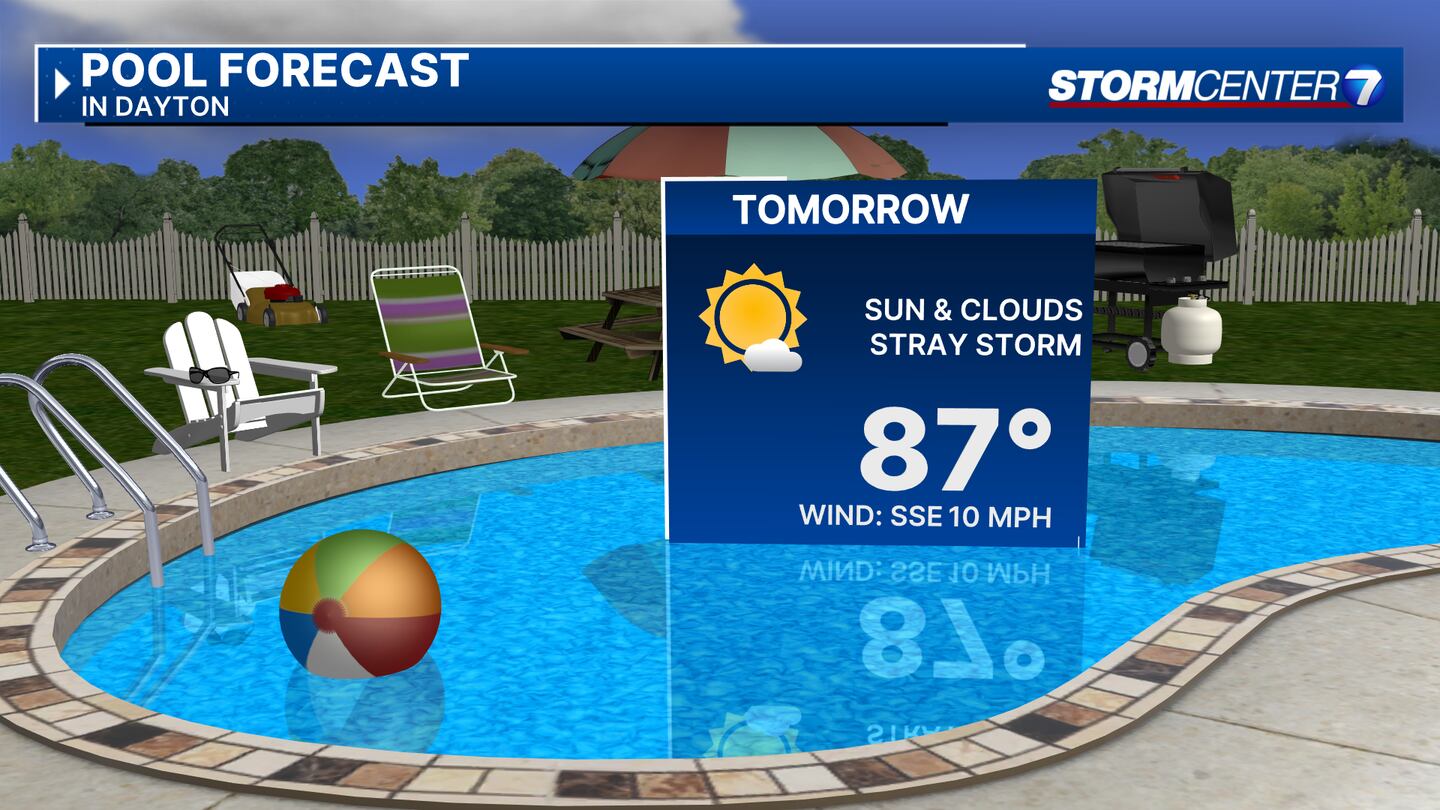
TUESDAY: Partly cloudy skies and hot. Highs in the upper 80s with feels-like temperatures around 89 or 90. There is a slight chance for a shower or thunderstorm bubbling up during the heat of the day. Better rain chances hold off until Tuesday night and Wednesday.
WEDNESDAY: A few rounds of showers and thunderstorms are possible on Wednesday. Not an all-day rain with dry time in between rounds. Most, if not all, storms should remain below severe limits. Warm with highs in the lower 80s.
THURSDAY: I can’t rule out a lingering shower on Thursday, but it will be much drier than Wednesday. Some sun returns. We’ll be breezy and a bit cooler with highs in the upper 70s.
FRIDAY: Partly cloudy and mainly dry. An isolated shower can’t be ruled out. Cooler with highs in the lower 70s.
SATURDAY: Partly cloudy. Again, a stray shower or storm possible. Highs close to 80 degrees.
SUNDAY: Partly cloudy. Again, a stray shower or storm possible. Highs close to 80 degrees.
MONDAY: A stray shower or storm during the day with a better chance arriving Monday night. Partly cloudy. Highs around 80 degrees.
©2024 Cox Media Group


