QUICK-LOOK FORECAST:
- Rain fades overnight as temps drop
- Stray flurries are possible into Sunday, no accumulation
- Colder start next week
>>TRACK THE LATEST CONDITIONS: Live Doppler 7 Radar
DETAILED FORECAST:

SATURDAY (Record High: 65° - 1946): Rain generally fades overnight with a stray shower possible. Mostly cloudy as temperatures gradually drop into Sunday.

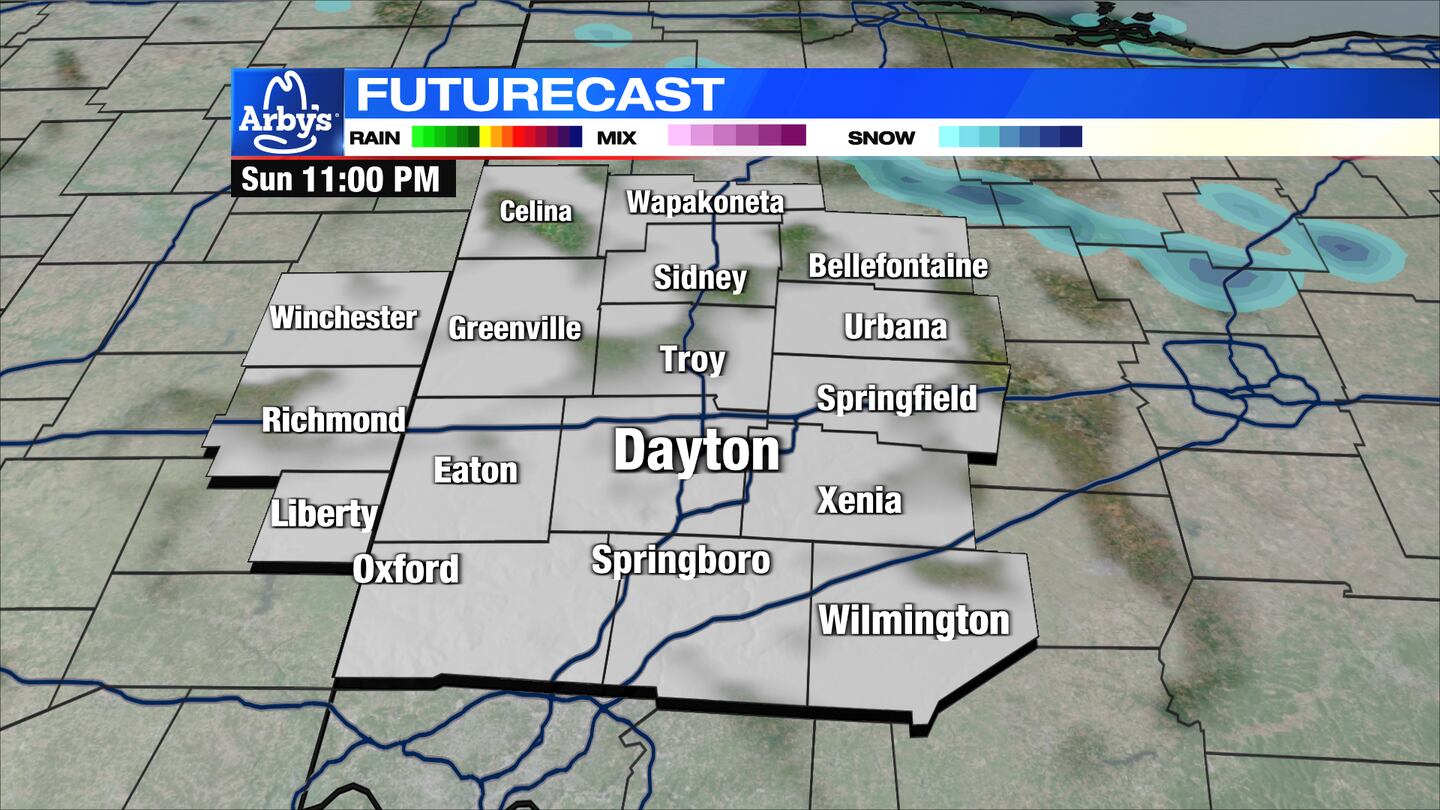
SUNDAY: Mostly cloudy. Cooler with temps in the upper 30s by the afternoon. Should any moisture remain as temps drop, a stray flurry may be possible but no accumulation is expected.
MONDAY: Mostly cloudy with eventual clearing and colder with highs in the upper 30s to lower 40s.
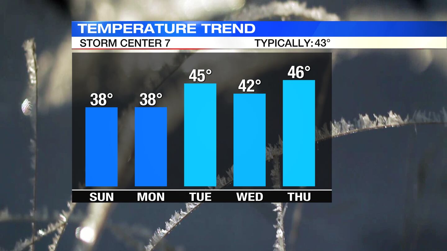
TUESDAY: Partly cloudy and dry by Tuesday. Cool with highs in the lower 40s.
WEDNESDAY: Mostly sunny on Wednesday with highs in the lower 40s.
THURSDAY: Mostly sunny with highs in the low to mid-40s.

FRIDAY: Sun and clouds with temps near 50.
SATURDAY: Mostly cloudy with highs in the mid-40s.
©2023 Cox Media Group