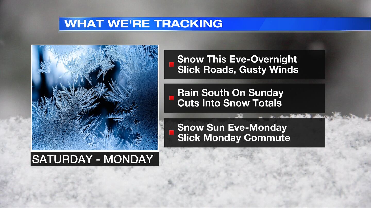
So far this season our winter pattern has been active, but more favorable to mixed precipitation storms compared to snow. While there has been some light snow at times, this weekend may be our best chance for widespread accumulating snow.
A storm system to our west is expected to track along the Mississippi and Ohio River valleys this evening. With a cold air mass already in place, precipitation is starting as snow this evening and will fall through the overnight and mix with a wintry mix at times before switching to rain on Sunday. The northern Miami Valley (north of U.S. 36) may stay cold enough to remain snow and/or a wintry mix throughout the event. For the rest of the Miami Valley, rain may cut down on snow totals.
So just to update you all. Watching the storm move into the Miami Valley now. Snow will start to accumulate during these...
Posted by WHIO Meteorologist Dontae Jones on Saturday, January 30, 2021
As this system pulls east on Sunday, rain showers during the afternoon will switch to snow showers in the evening. A light dusting to a half inch of additional snow is possible with this round. On Monday, flurries and a few snow showers along with slick and icy roads may lead to a slick morning commute. The evening commute may be marked with scattered flurries or snow showers. Temperatures will stay below freezing on Monday so any leftover snow may create slick roads.
Estimated snow totals across the Miami Valley are expected between 3 to 6 inches with locally higher amounts north and west of Dayton. Rain totals may be up to a half inch in the southern Miami Valley.
This forecast will be tweaked as the storm approaches and more weather data becomes available, so stay tuned for updates on whio.com and on WHIO-TV.
Cox Media Group


