QUICK-LOOK FORECAST:
- Few early evening showers
- Cooler end to the week
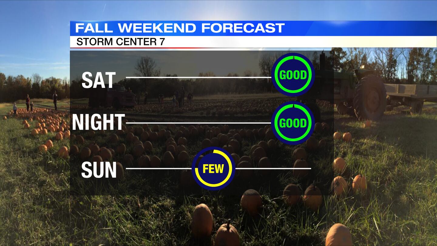
- Dry Saturday, wet Sunday
>>TRACK THE CONDITIONS: Live Doppler 7 Radar
DETAILED FORECAST:
THIS EVENING:
Mostly cloudy, breezy and chilly conditions are expected this evening with a few passing showers. An isolated downpour could produce some gusty winds or small hail, according to Storm Center 7 Chief Meteorologist McCall Vrydaghs. There is no threat for severe weather. Showers will come to an end overnight and winds will diminish. Clouds break a little more, too. Overnight temperatures fall to the lower 40s.
FRIDAY: A cold end to the workweek with highs only reaching the upper 50s, which is around 10 degrees below average for this time of year. The Miami Valley will get some sunshine with scattered clouds for the afternoon. Clouds will increase into the evening. If will not be as windy as Thursday.
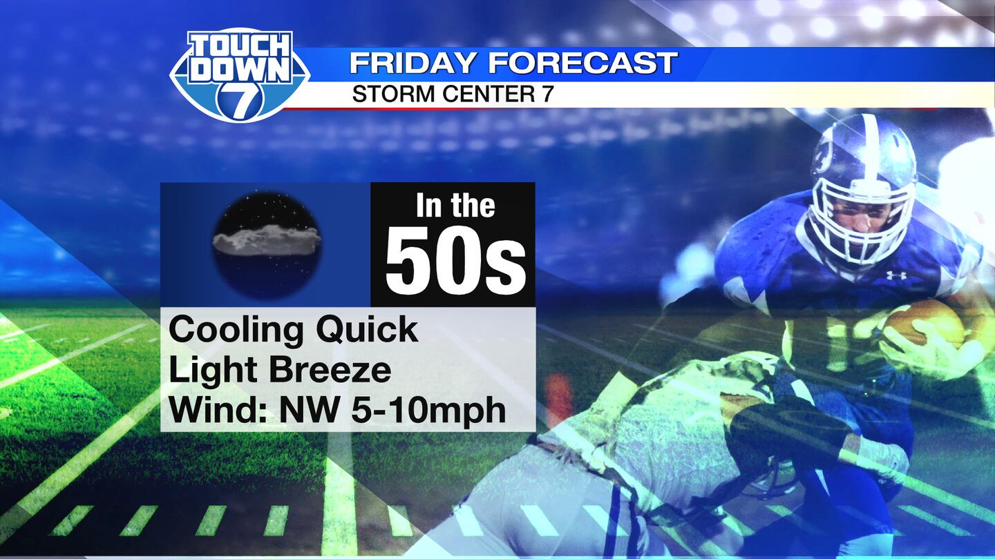
Partly cloudy skies continue into the evening for Friday football. Temperatures will drop through the 50s during the games.
Overnight lows around 40 degrees with communities north of Dayton dipping into the upper 30s. Some patchy frost will be possible in these areas.
SATURDAY: Expect a chilly morning with some spotty frost. Some scattered clouds early Saturday should prevent it from becoming a widespread problem. Temperatures will start out in the upper 30s. The afternoon will climb to about 60 degrees with more sunshine returning. It will be a dry day with mostly sunny to partly cloudy skies. Clouds will increase into Saturday night.
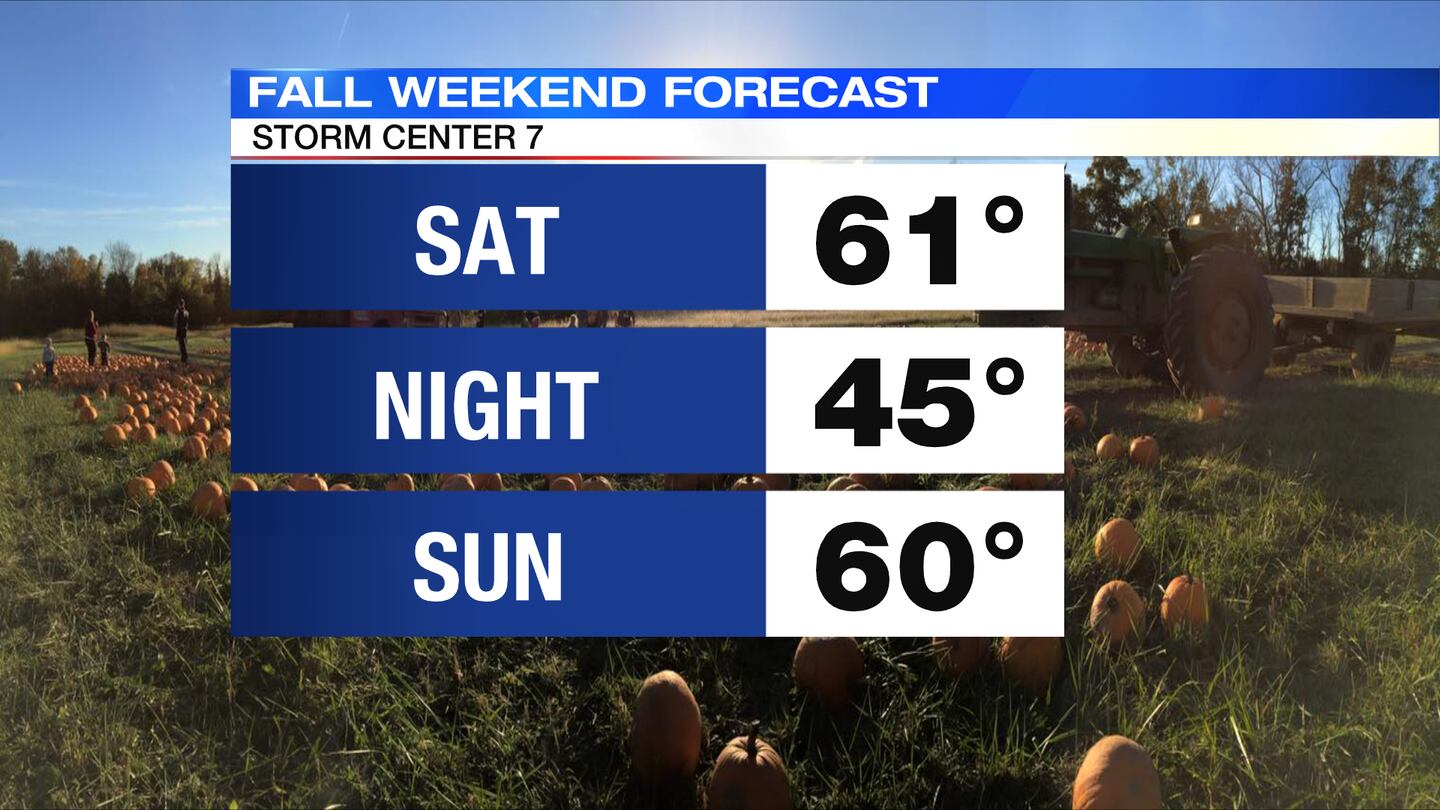
SUNDAY: Clouds increase quickly. Cool again around 60. Scattered rain showers pass by in the afternoon and at night.
MONDAY: A calmer start to the week. Clouds will break. Highs reach the middle 60s which is a little more comfortable.
TUESDAY: Sun and a few clouds will be around for Tuesday. These is a slight chance for a few passing showers, mainly late. Highs in the upper 60s.
Cox Media Group


