
DAYTON — Rain chances are increasing with an approaching cold front on Thursday. Current timing looks to be late morning and early afternoon with the chance of scattered showers. The main event, late day and into the evening.
This is when the heaviest rain is forecast. Behind the area of low pressure, once the cold front passes through, rain will transition to light snow. At this time, a dusting is possible. This, of course, will lie over any refreeze as temperatures drop quickly behind this front.
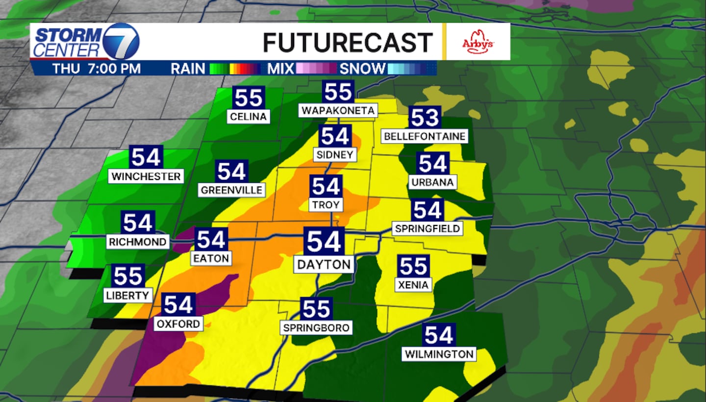
High temperatures will drop from the low to mid-50s on Thursday to highs only in the low to mid-20s on Friday.
Rainfall totals at this time range from a half inch to roughly 1 inch on the higher end. Snowfall totals will be light to a dusting, if any at all. The tricky part will be the light dusting falling on top of refreeze.
©2025 Cox Media Group


