QUICK-LOOK FORECAST:
- Relatively low humidity for Monday, but hotter
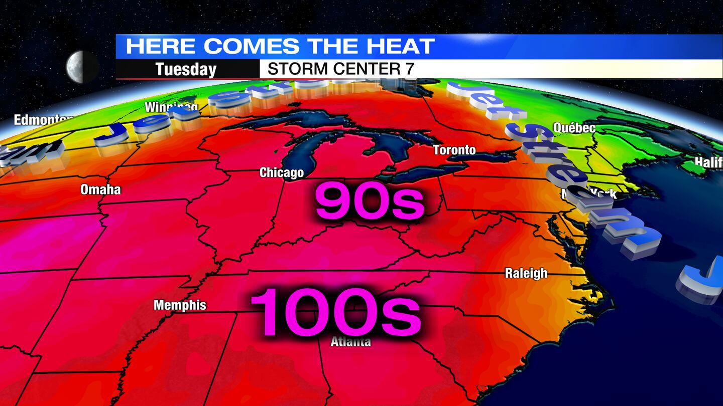
- 90s Return Tuesday
- Some late storms Wednesday
>>TRACK THE LATEST CONDITIONS: Live Doppler 7 Radar
DETAILED FORECAST:
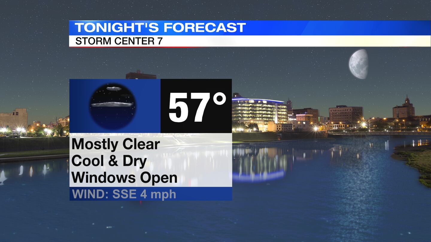
TODAY: Still relatively cool overnight with lows in the upper 50s. A few passing clouds.
MONDAY: Sun and clouds expected on Monday. Staying dry. Temperatures begin to climb yet again with highs returning to the upper 80s
TUESDAY: Mostly sunny and hot with highs in the mid 90s. Humidity starts to return a bit also with heat index values climbing to the mid and upper 90s.
WEDNESDAY: Partly sunny and hot. Highs climb to the mid 90s. With humidity increasing, it will feel like 100 degrees. A few spots get cooled off by isolated afternoon showers and thunderstorms.
THURSDAY: Mostly sunny. A little less hot with highs in the upper 80s. We should get a brief reprieve from the humidity also.
FRIDAY: Mostly sunny and hot with highs in the low 90s.
SATURDAY: Mostly sunny. Hot and muggy conditions with highs in the lower 90s. An isolated shower or storm may pop up during the afternoon.
©2022 Cox Media Group