QUICK-LOOK FORECAST
- Showers towards evening
- Warming up this week
- More wet weather to end work week
>>TRACK THE CONDITIONS: Live Doppler 7 Radar
DETAILED FORECAST
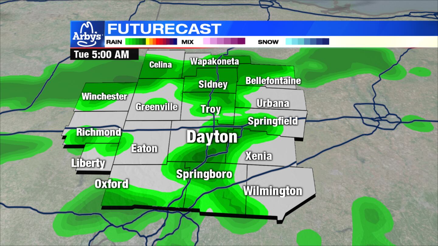
THIS EVENING: Expect cloudy skies with a few scattered showers for the late afternoon into the evening hours, according to News Center 7 Meteorologist Dontae Jones. Temperatures will be in the 40s. Overnight conditions will be cloudy with on and off again showers and temperatures in the lower 40s.
>>Stay UP TO DATE with the LATEST INFORMATION by using our News Center 7 app
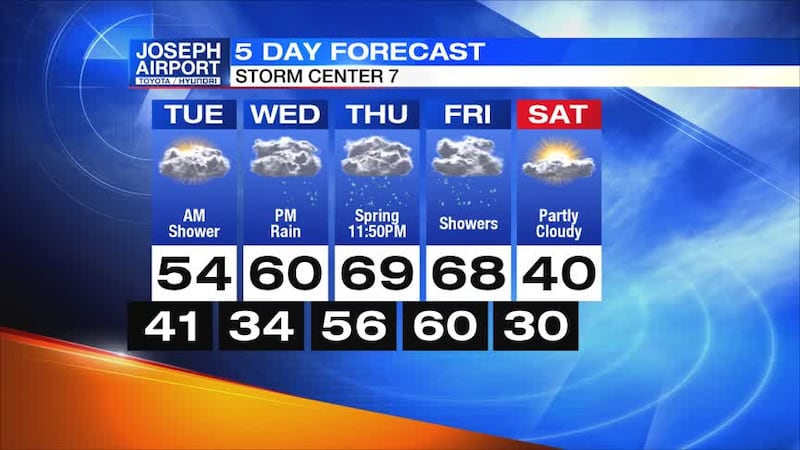
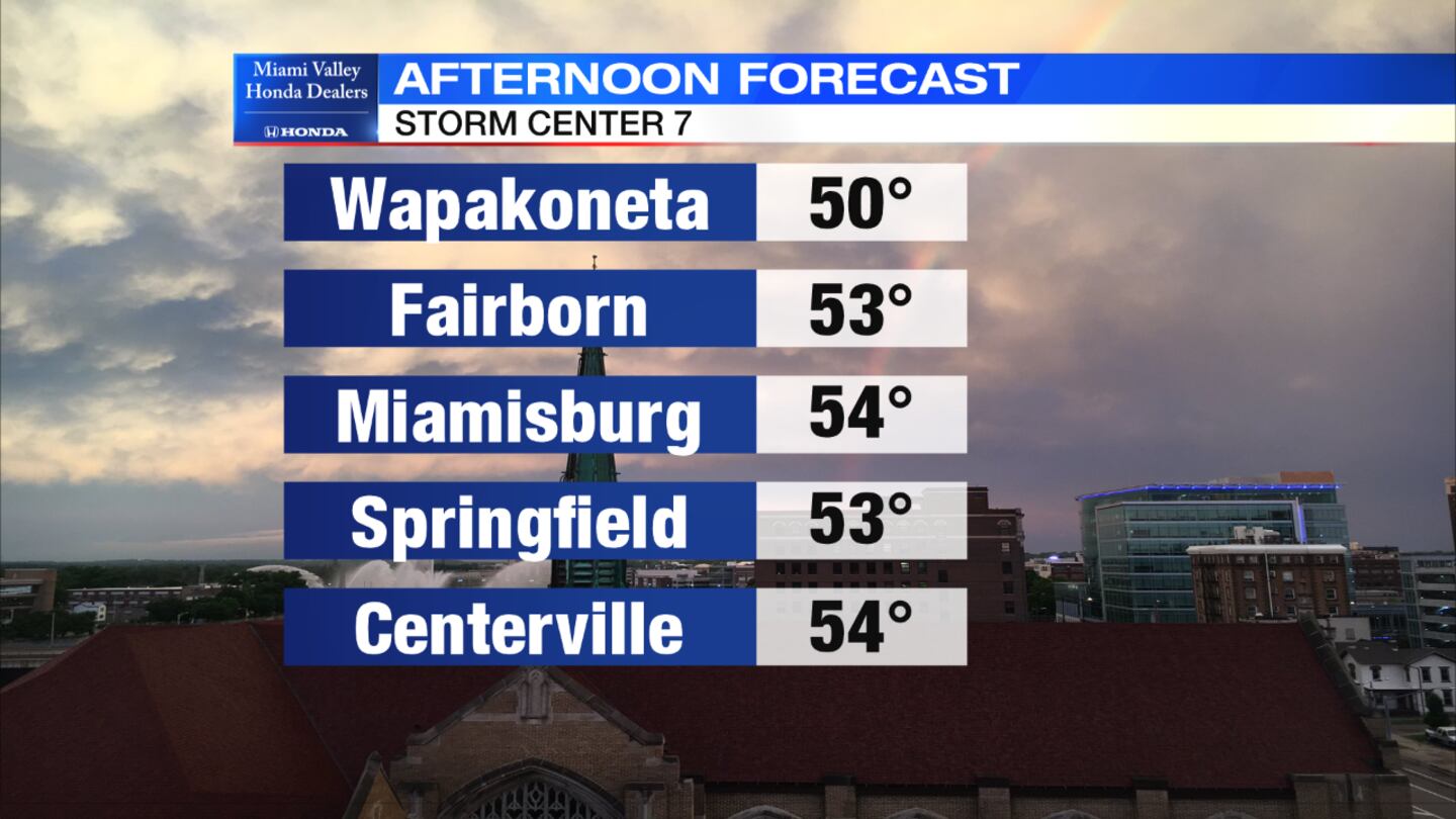
TUESDAY: A few early morning showers but, we will dry out after sunrise. Highs will push to the middle 50s with predominately cloudy skies.
WEDNESDAY: A dry start to the day. Highs push to around 60. A nice day with mainly dry weather. Showers arrive into the evening hours.
THURSDAY: Showers are expected most of the day and rain becomes widespread into the afternoon and evening with highs reaching the upper 60s. There will be gusty winds at times with an isolated thunderstorm possible at night.
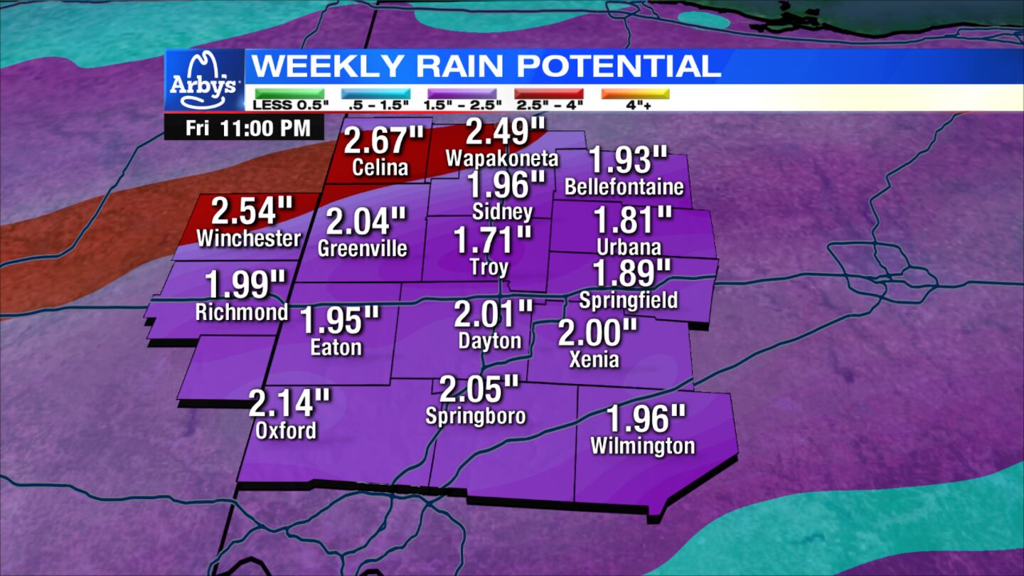
FRIDAY: Another wave of rain mainly early in the day. Highs reach the upper 60s. Showers will taper off into the late afternoon and evening. Temperatures will drop towards the end of the day quickly as front moves past.
SATURDAY: Expect decreasing clouds, with winds subsiding through the day. It will be much colder with temperatures around 40.