QUICK-LOOK FORECAST
- Slowly cooling, patchy fog possible late tonight
- Cooler, lingering clouds Thursday
- Heat returns for the holiday weekend
DETAILED FORECAST
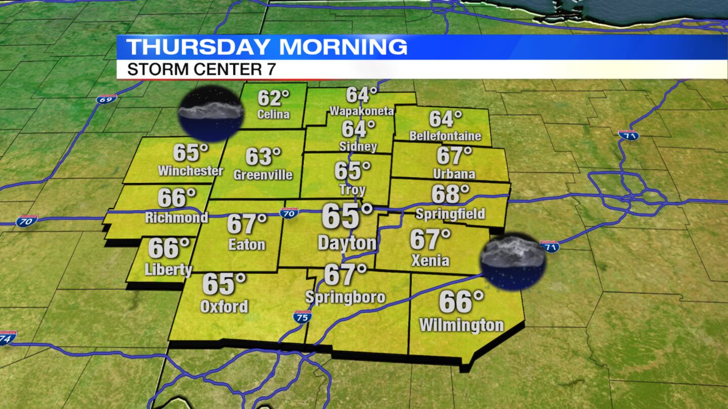
Overnight: Storms will move out but clouds will linger, Storm Center 7 Chief Meteorologist Eric Elwell said. Temperatures will fall into the middle 60s.
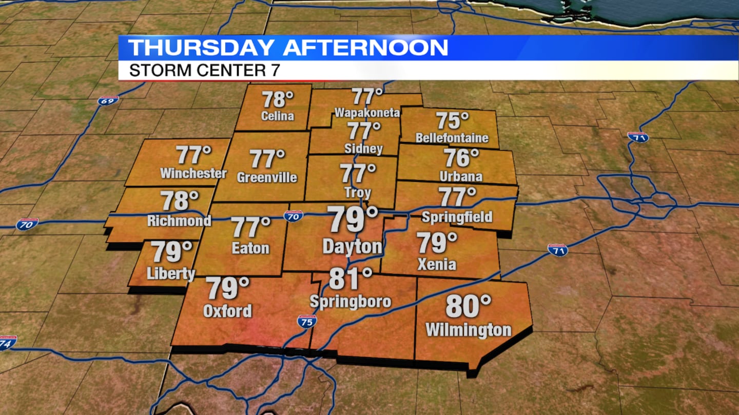
Thursday: Clouds will linger with a slight chance for a passing shower or sprinkle, mainly south. Temperatures will hold in the upper 70s to near 80 degrees.
>> Cloudy with a Chance of Podcast Centerville Superintendent
Friday: Lots of sunshine will end the week with seasonable temperatures in the lower 80s.
RELATED: How is a heat wave calculated?
Saturday: Expect partly cloudy skies with a slight chance for pop-up storms, mainly late-day. Heat and humidity will increase with highs in the middle 80s.
Sunday: A mix of sun and clouds is in the forecast with a chance for passing showers and storms. Highs will be in the middle 80s.
Labor Day: Partly cloudy skies are expected Monday along with warm and humid conditions. There is a chance for a few pop-up storms, mainly in the afternoon. Highs will reach into the upper 80s.


