QUICK-LOOK FORECAST:
- Few flurries tonight
- Cold persists into Wednesday, then warming
- Strong weekend cold front
>>TRACK THE LATEST CONDITIONS: Live Doppler 7 Radar
DETAILED FORECAST:
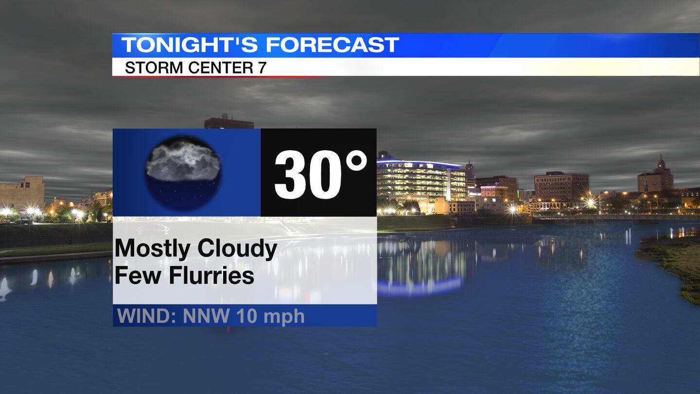
TUESDAY: Cloudy skies with a few rain showers around through this evening, according to Storm Center 7 Chief Meteorologist Austin Chaney. As temperatures cool tonight, any remaining moisture may change over to snow flurries. Little to no accumulation is expected. Lows down to around 30 by tomorrow morning.
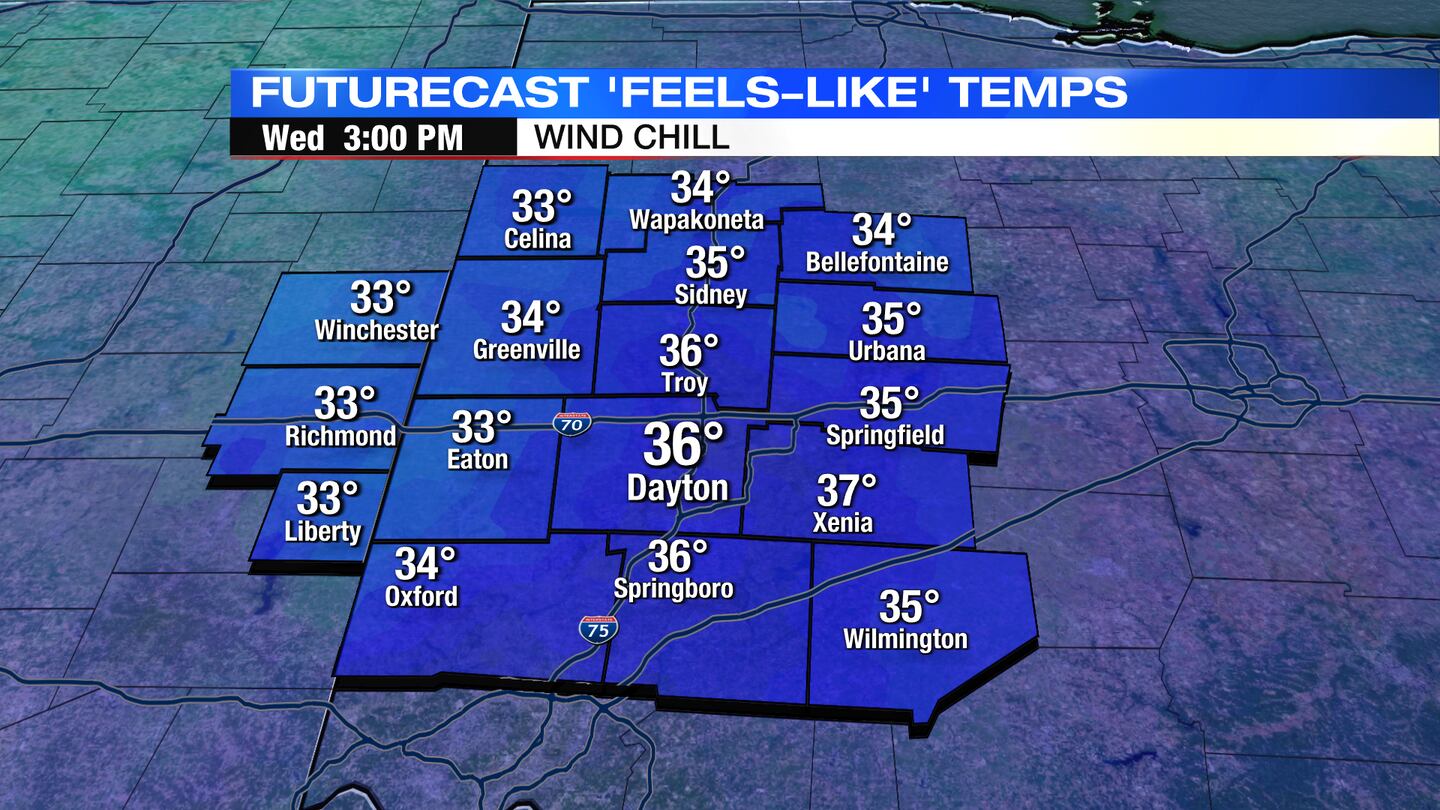
WEDNESDAY: Mostly cloudy skies with a few flurries possible Wednesday morning. This may transition to a sprinkle chance on Wednesday afternoon.
Nothing widespread or heavy is expected. Chilly on Wednesday with highs around 40. Breezy conditions will drop the feels like temperatures into the 30s even during the afternoon.
THURSDAY: Becoming sunny on Thursday. Dry, warmer, breezy. Expect highs in the lower 50s. Winds could gust to 25-30MPH.
FRIDAY: A mix of sun and clouds. Warming trend continues with highs climbing to the mid-50s. These temperatures will be running about 10 degrees above normal for this time of year. Breezy again.
SATURDAY: Rain showers arrive on Saturday. It’ll be warm as well with highs near 60. This warmth may give us just enough instability to have a few rumbles of thunder out there. A better coverage of rain rolls in Saturday night.
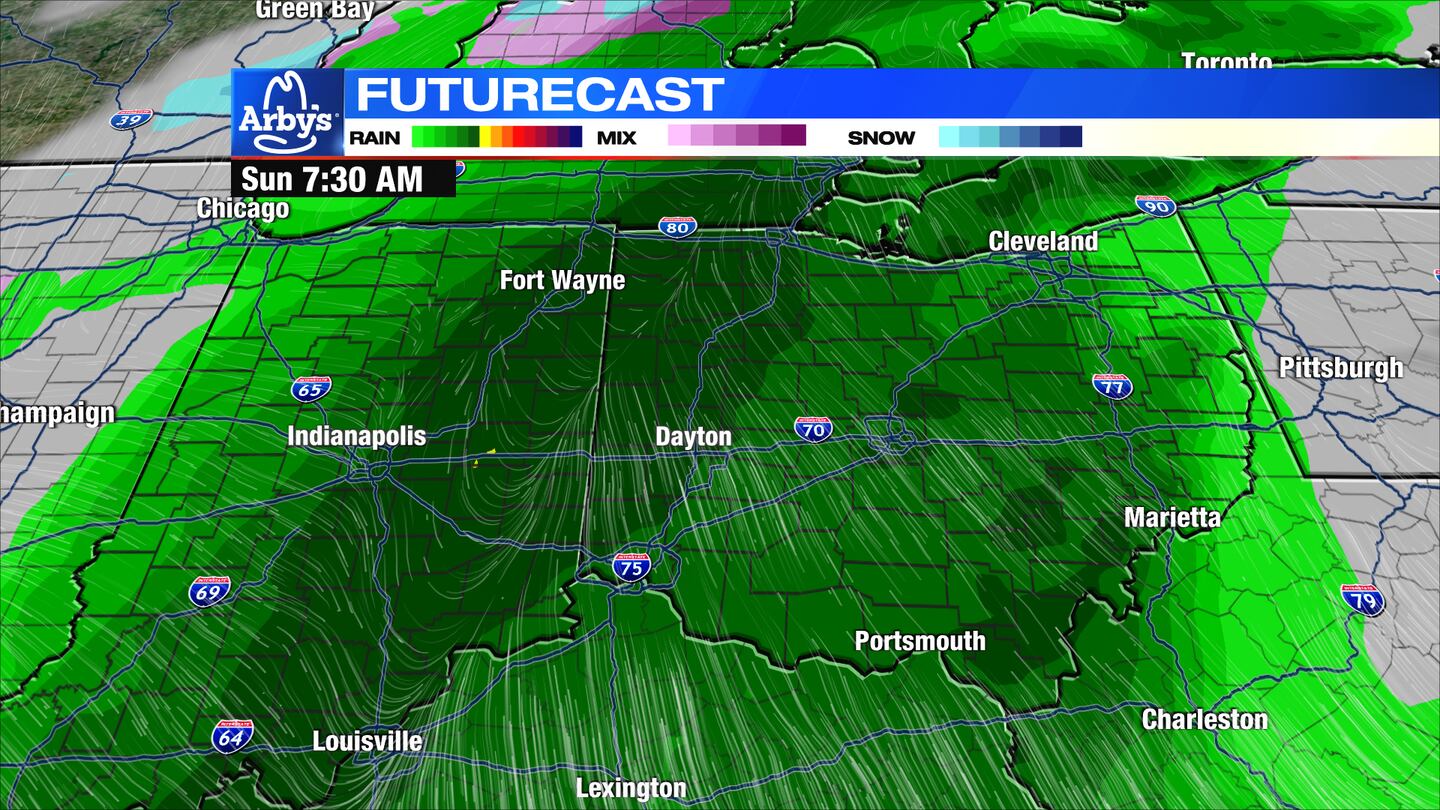
SUNDAY: More rain on Sunday. Colder air starts to arrive on Sunday. Highs in the upper 40s to lower 50s. Sometime Sunday evening or Sunday night, the air may be cold enough to changeover the rain to snow before ending. Very windy as the front passes.
MONDAY: If moisture is still leftover on Monday morning, we may begin the day with some snow showers. Then we dry out, and start clearing out. High temperatures climb to near 40. Breezy.
TUESDAY: Partly cloudy and dry by Tuesday. Cool with highs in the lower 40s.
©2023 Cox Media Group


