
DAYTON — Happy Saturday, everyone! Weather Specialist Nick Dunn here and our forecast largely remains quiet for the next few days. The holiday weekend could not have come at a better time with this very comfortable air mass we are in. At least we are not forecasting highs in the triple digits like Labor Day was back in 1954!
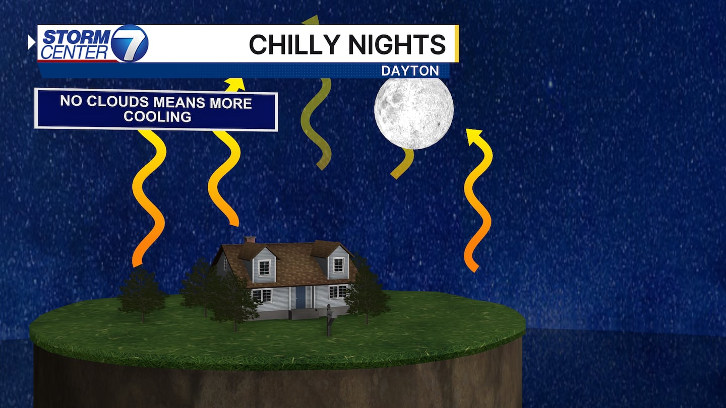
A chilly night is in store with lows in the upper 40s in Dayton. SOme middle 40s are a good bet away from town. Why will it be so cool? We call this process radiational cooling. With no cloud cover, daytime heat can escape into the atmosphere. When this happens, it allows for temperatures to cool off and fall quickly after sunset.
[DOWNLOAD: Free Storm Center 7 Weather app for alerts as news breaks]
For Sunday and Labor Day, highs will climb into the middle and upper 70s, which is still a bit below normal for late August into the opening of September. We will stay dry, but the next big thing is visible on the horizon.
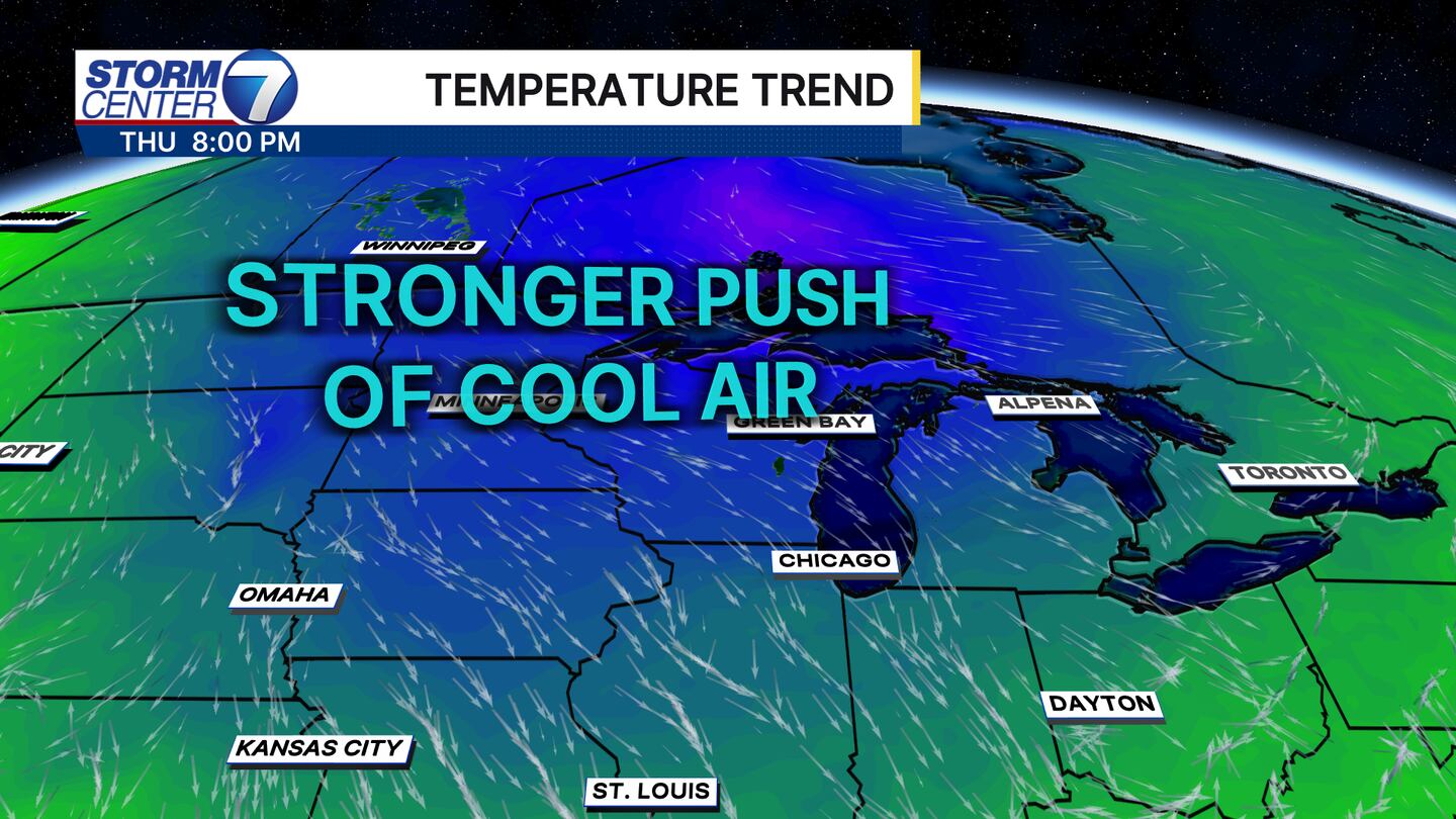
Another cold front dropping down from Canada will open the door for a push of cooler air into the region by Thursday. In fact, we could see the coolest high temperature ever recorded in Dayton for September 4th. Crazy to think for early September, right?
Before we get to Thursday, this front will bring us a chance of showers. New data today shows the slim rain chance for Tuesday has pushed south a bit and the arrival of the front looks to be pushed back a bit for Wednesday.
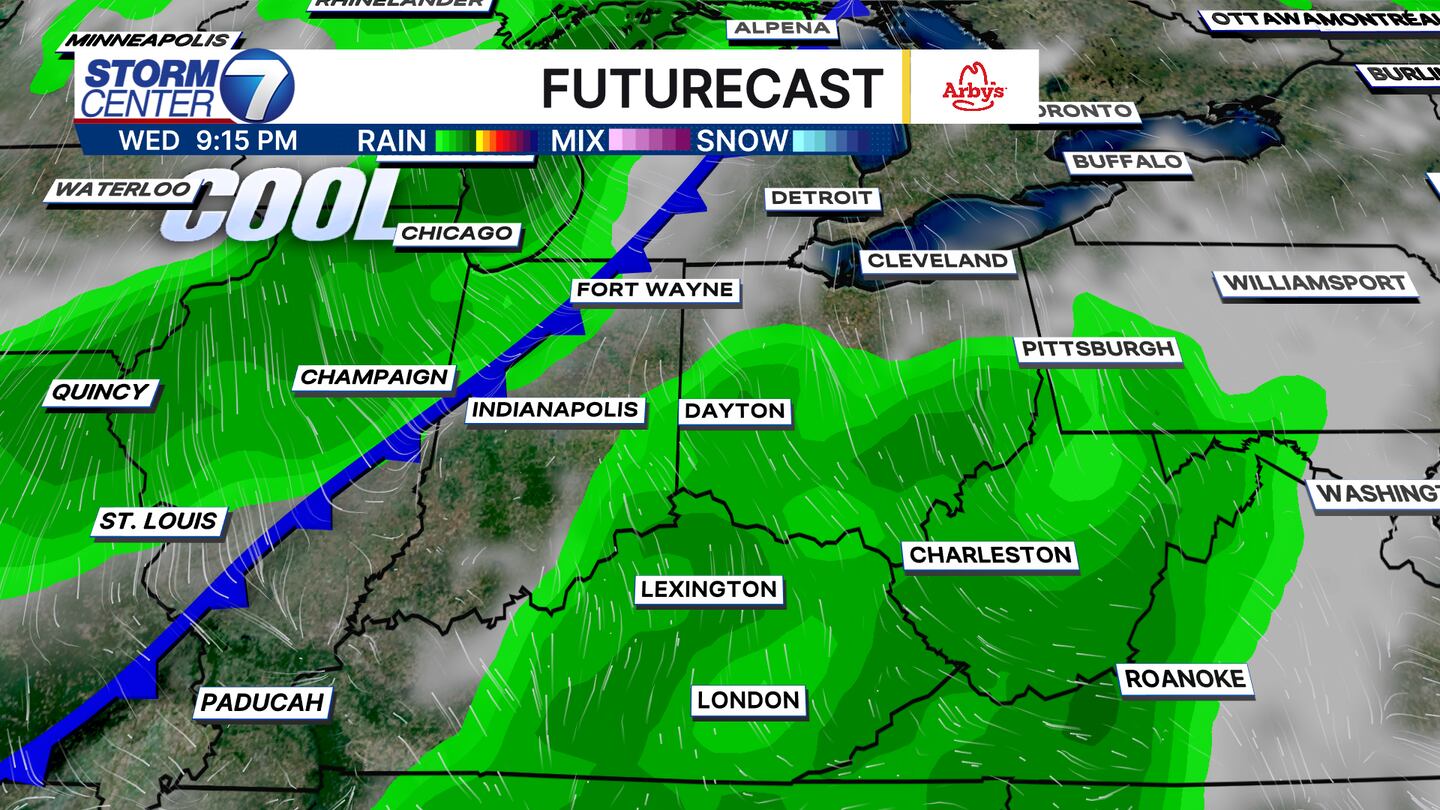
Also, today’s data shows lighter rainfall than what the past couple of days have shown. What does that mean? It tells me that the moisture from the south and that cold front may not join forces at the ideal time, which could result in lower totals. Let’s check out trends in the coming days!
[WATCH Storm Center 7 Weather on the following devices]
We will keep watching for any changes to the forecast for next week, but for now...enjoy the spectacular weather we have in place! That A/C is getting a well deserved break!


