>> LISTEN: Cloudy with a Chance of Podcast: A podcast for weather fans
QUICK-LOOK FORECAST
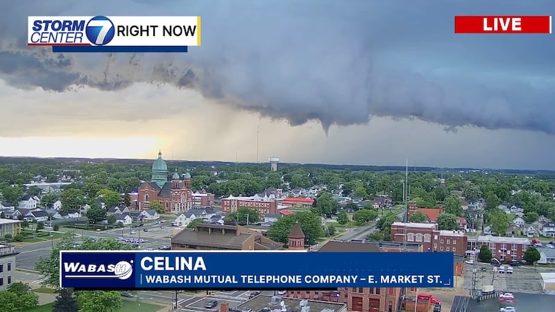
- Storms moving out of the area
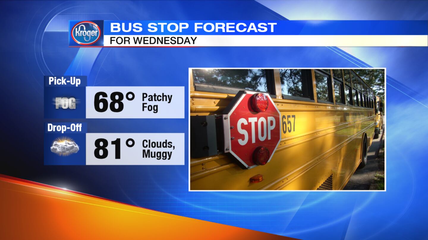
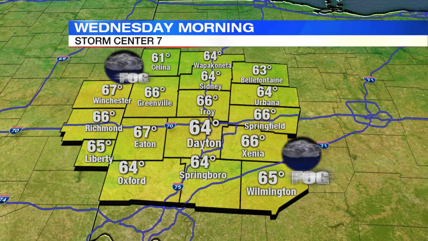
- Patchy fog possible Wednesday morning
- More active weather Thursday
>> Track the latest conditions with Live Doppler 7 HD Interactive Radar
>> Stay up-to-date with the WHIO Weather App
DETAILED FORECAST
OVERNIGHT: Lingering clouds. Some patchy areas of fog will be possible, especially toward morning. Temperatures will hold in the middle 60s.
>> September by the numbers: A warm, wet month
WEDNESDAY: Clouds linger during the day with a slight chance for a pop-up shower or storms. It will be warm and muggy with highs in the lower 80s.
THURSDAY: Expect scattered showers and storms for the first half of the day with clouds lingering into the afternoon. Highs will be in the upper 70s.
FRIDAY: A mix of sun and clouds during the day with a slight chance for a pop-up shower or storm. Highs will be in the upper 70s.
SATURDAY: Partly cloudy skies to start the day, but there will be an increasing chance for a shower or storm towards the evening. It will be warm and muggy again with highs in the lower 80s.
SUNDAY: Partly cloudy skies to end the weekend with highs reaching the lower 80s.