
DAYTON — Good afternoon to you on this Saturday. Meteorologist Nick Dunn here with you on what is been a wet day at times. There have been some dry pockets as well. However, some of us saw some heavy rain this morning.
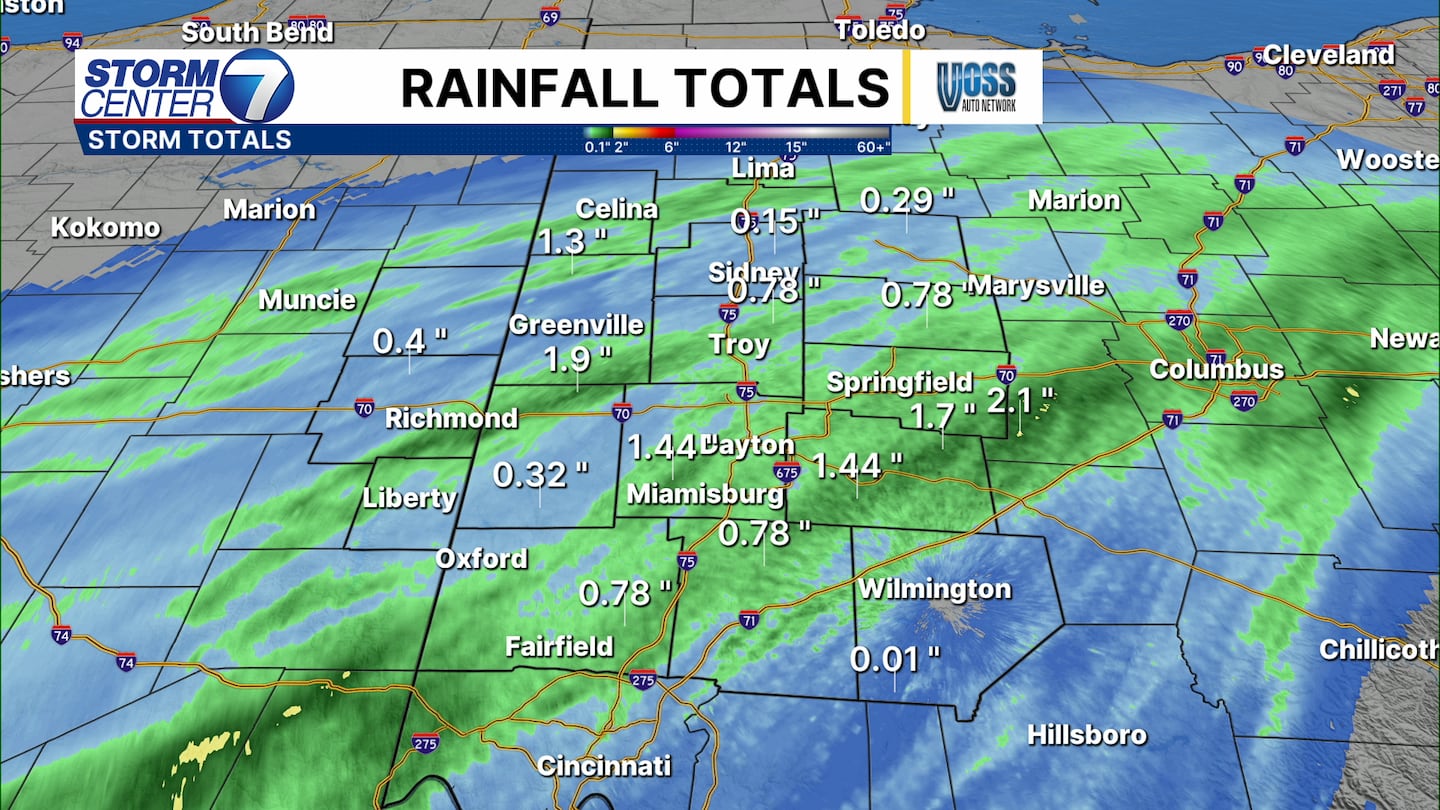
Doppler radar estimates show anywhere from one-quarter to 1.75 inches of rain. The heaviest was concentrated southeast of Dayton. Additional showers or storms through this evening could add to these totals, but we do not expect severe weather.
[DOWNLOAD: Free Storm Center 7 Weather app for alerts as news breaks]
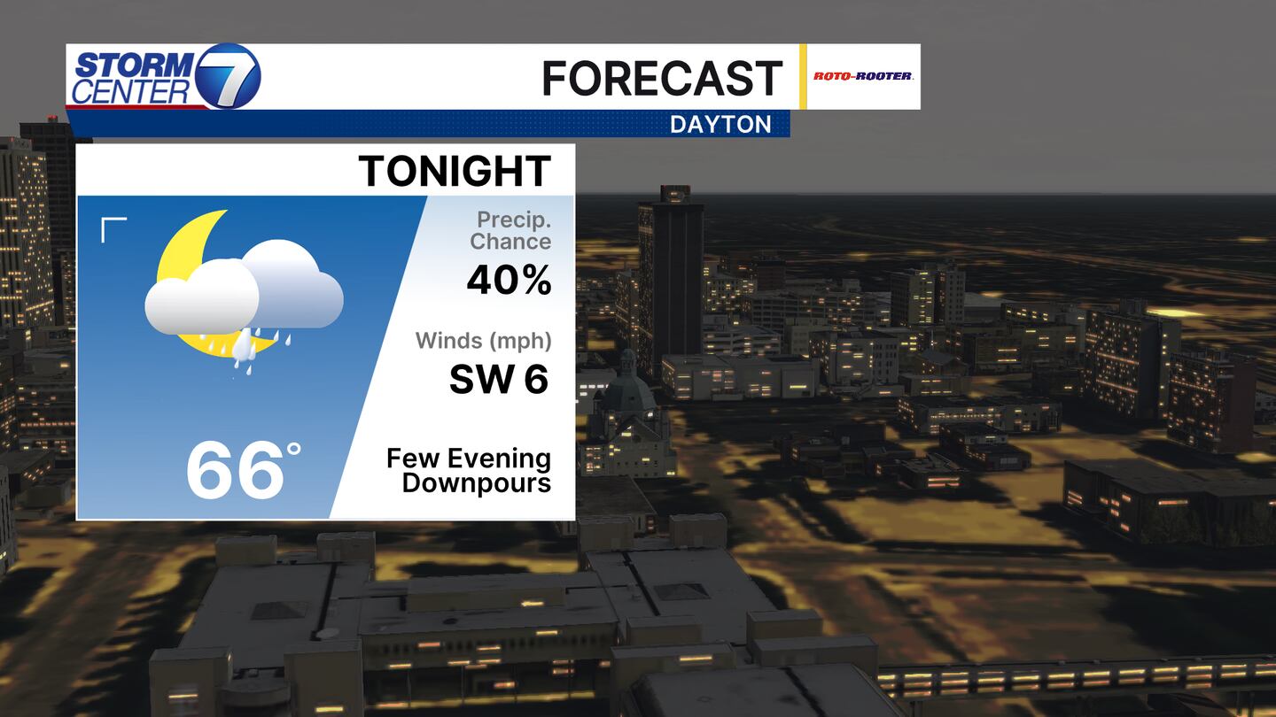
Through tonight I expect showers to eventually end with lows in the middle 60s. Not everyone will see rain as the coverage will be scattered. Be ready to move plans indoors if you have any.
[WATCH Storm Center 7 Weather on the following devices]
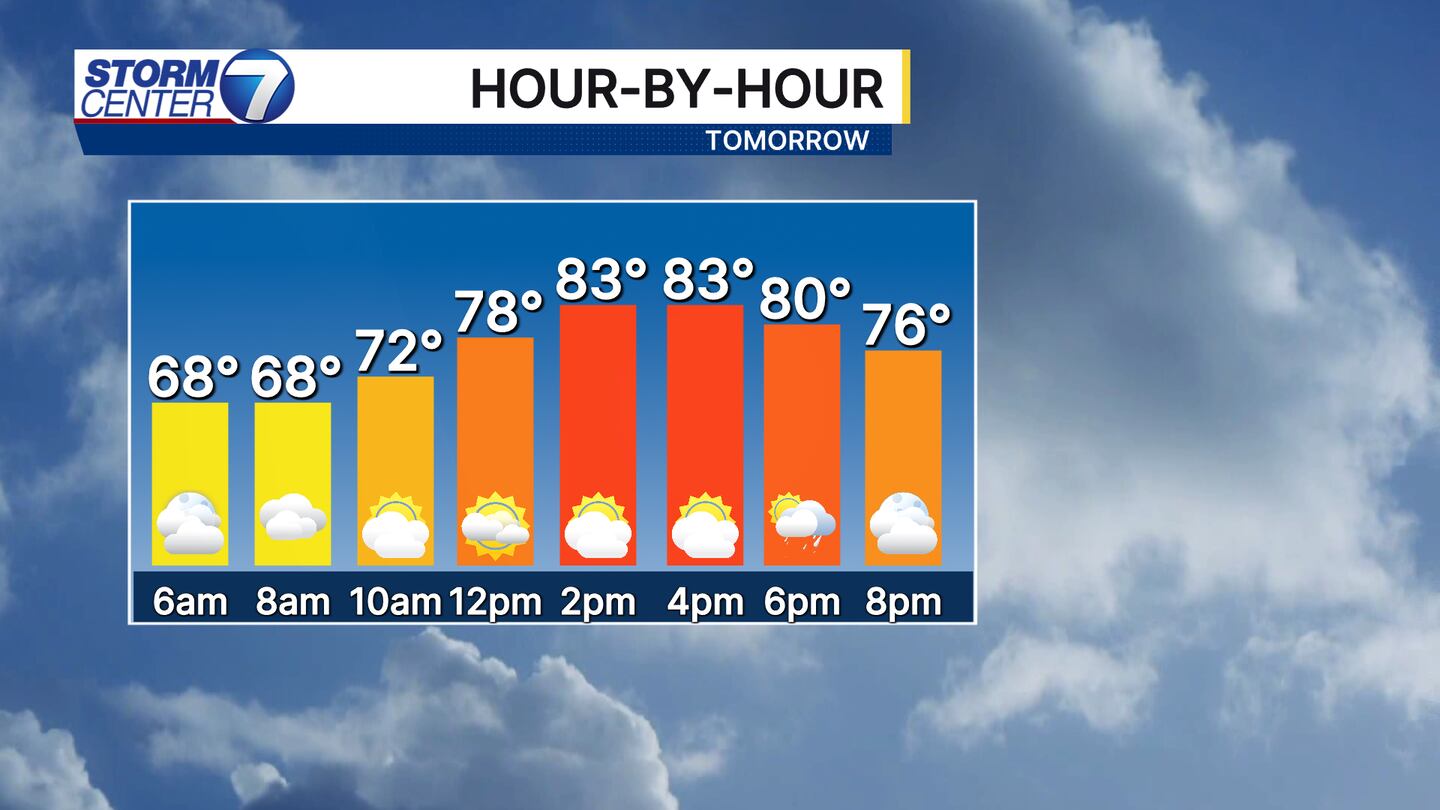
Sunday will be a warmer day with highs in the low to middle 80s. Humidity will be increased as well as a cold front approaches. The overall storm coverage looks isolated to scattered, meaning some will stay dry.
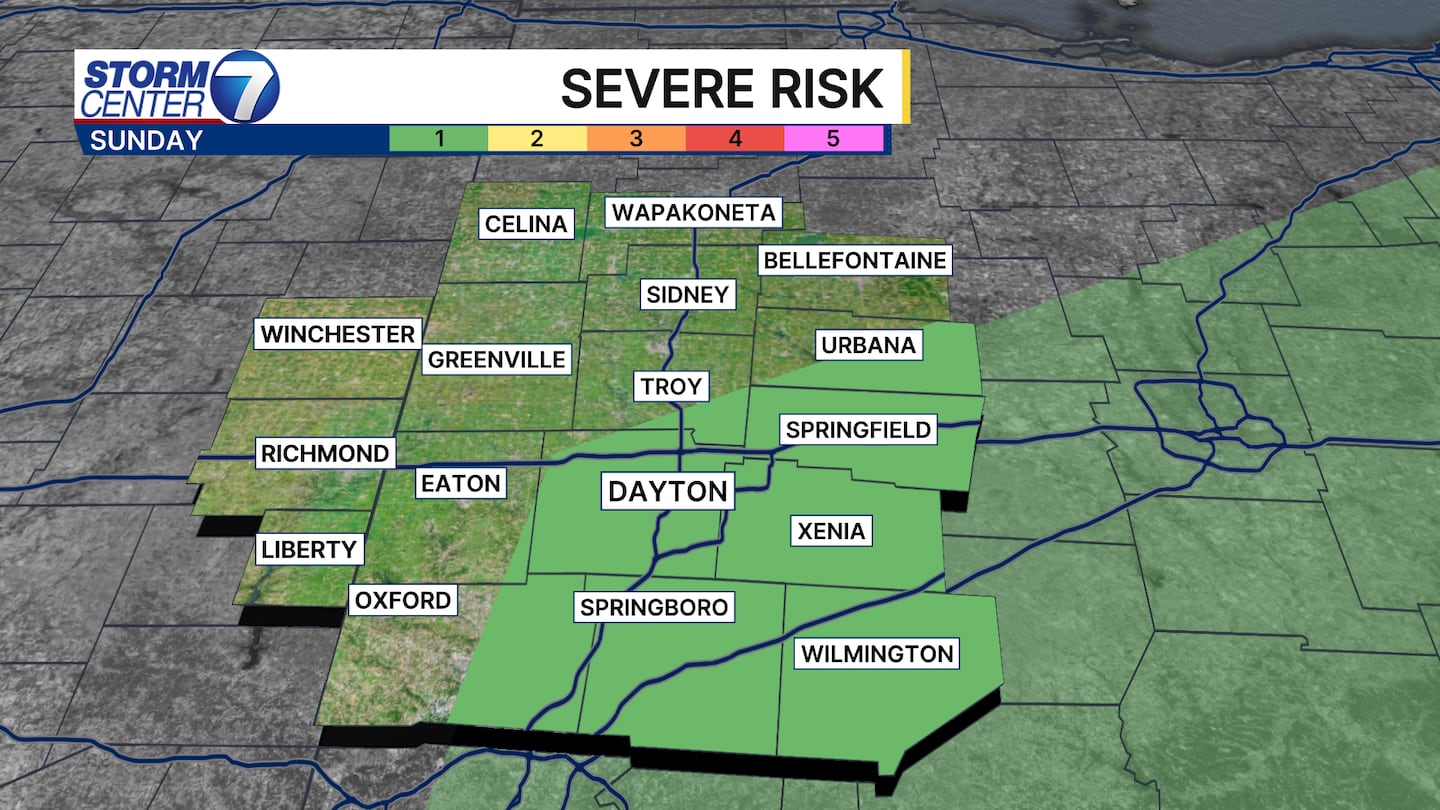
An isolated storm or two may turn strong as well with strong winds or small hail being the main threat. A Level 1 risk of severe storms is in place for much of the valley.
©2026 Cox Media Group


