Average temperatures in Dayton for the first half of November are running near record highs, National Weather Service forecasters have said, and it is quite possible a daily record could be set Friday.
That mark is 75, which was set in 1930.
But don’t get too used to the warm weather, said Eric Elwell, Storm Center 7 chief meteorologist.
“We are expected to go from near record warmth to biting cold in only a matter of hours across the Miami Valley,” he said Thursday night.
Highs on Friday will reach into the middle 70s but fall into the 40s by Saturday morning. Temperatures will continue to drop into the upper 20s, with wind chills perhaps in the upper teens by Sunday morning.
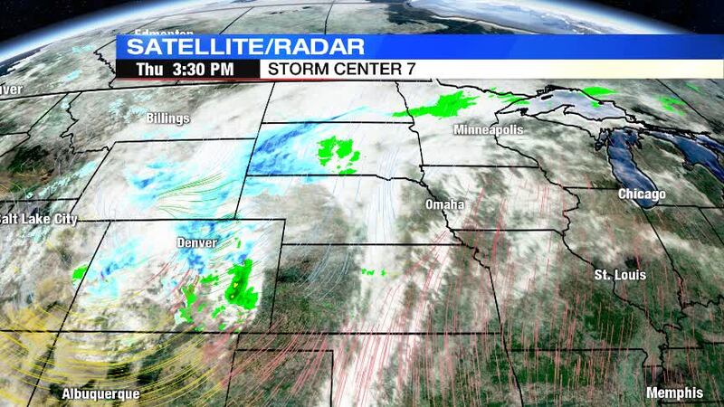
What’s driving the drastic change? A strong cold front will push into the area Friday night, bringing with it gusty winds and the threat for showers after dark. A rumble or two of thunder can’t be ruled out Friday night, mainly west of I-75.
As the front goes by, strong winds will switch out of the west to northwest and that will rapidly bring in the colder air. Wind gusts by Saturday afternoon could reach up to 40 mph.
As temperatures drop, any rain showers will mix with or change over to snow showers or flurries before ending. The snow is not expected to stick as the ground is warm because of the recent days of above average temperatures.
A slow warming trend is expected early next week. Temperatures will likely remain near or below normal into Thanksgiving.