A Winter Weather Advisory has been issued for most of the Miami Valley from 4 p.m. Wednesday, Feb. 5 through 10 a.m. Thursday, Feb. 6.
>> Difference between Winter Weather Advisory, Winter Storm Watch & Winter Storm Warning
In Effect for: Auglaize, Champaign, Clark, Darke, Logan, Mercer, Miami, Montgomery, Preble, Shelby and Wayne, Indiana, counties.
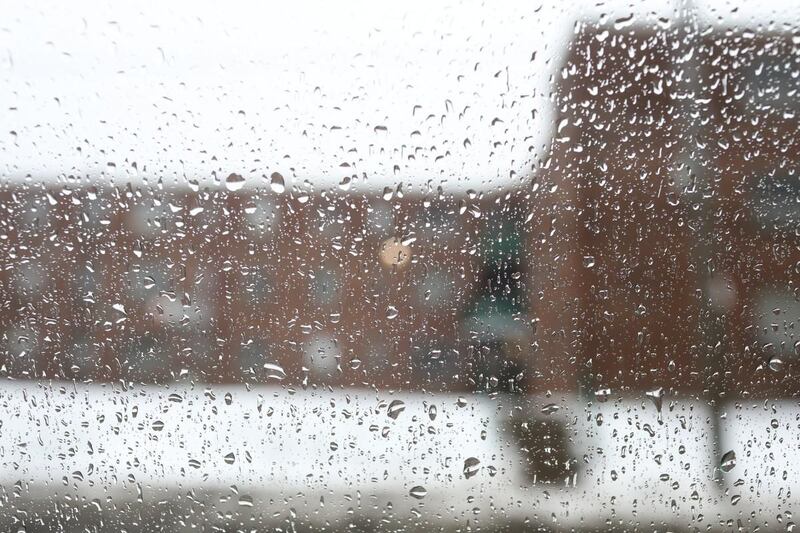
Timing: Another storm will bring a wintry mix late this afternoon and into the night. Most of the precipitation will arrive between 5 and 10 p.m. Overnight, some passing showers continue, which can keep the roads slick.
Accumulation: The far northern Miami Valley up toward Celina and Wapakoneta will likely see a mix of snow and sleet. Accumulation of around 1 inch is expected. The central Miami Valley, including Dayton, likely will see a mix of rain, freezing rain and sleet. South of Dayton, a mix of rain and possibly some light freezing rain will occur. Ice accumulation around one-tenth inch will be possible.
>> Live Doppler 7 Interactive Radar
The advisory was issued by the National Weather Service today not because we are expected to get a lot of snow. These advisories can be issued for different criteria like freezing rain.
Roads: The roads will likely get slick through the night. Freezing rain will look like rain, but can accumulate ice on anything 32 degrees or lower. This could put a glaze on tree branches, car windshields and possibly the roads. If the pavement stays above 32 degrees it will help to keep the roads just wet.
This is a complicated system so stay tuned into the forecast with your Storm Center 7 team today.


