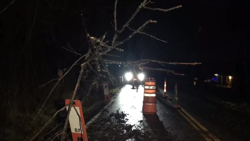
A Wind Advisory is in effect through 2 a.m. Winds can gust as high as 50 mph. Scattered tree and power line damage is possible. Also, winds this strong can make driving difficult, especially for high-profile vehicles.

DETAILED FORECAST
>> Wet weather driving safety: What you need to know
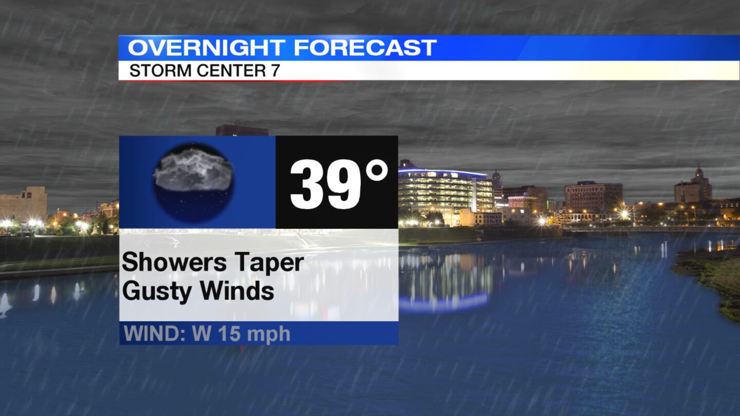
Overnight: Wind gusts are expected to slowly decrease through the New Year's overnight hours, Storm Center 7 Chief Meteorologist McCall Vrydaghs said. Clouds will linger through the night with a stray shower possible. Temperatures are expected to fall into the upper 30s by daybreak.
>>Live Doppler 7 HD Interactive Radar
New Year's Day: Cloudy and colder with a little breeze around on Tuesday. A passing sprinkle is possible. High temperature is expected around 40 degrees. Clouds linger Tuesday night. It will be chilly with lows in the upper 20s.
>> LISTEN: Cloudy with a Chance of Podcast: A podcast for weather fans
Wednesday: Mostly cloudy and colder with highs in the upper 30s
Thursday: Partly sunny and quiet with highs in the upper 30s.
Friday: Clouds return along with the chance for rain. Temperatures will push to the middle 40s.
>> New device for Christmas? Download our WHIO Weather App
Saturday: Slight chance of a lingering shower or flurry early then clouds decrease. A little breezy at times, too. Highs in the middle 40s.


