
High pressure is dominant to our northwest.
This has a big impact on our rain chances and temperatures.
As the high sits to our northwest, the air around it spins clockwise and brings in a northerly wind component.
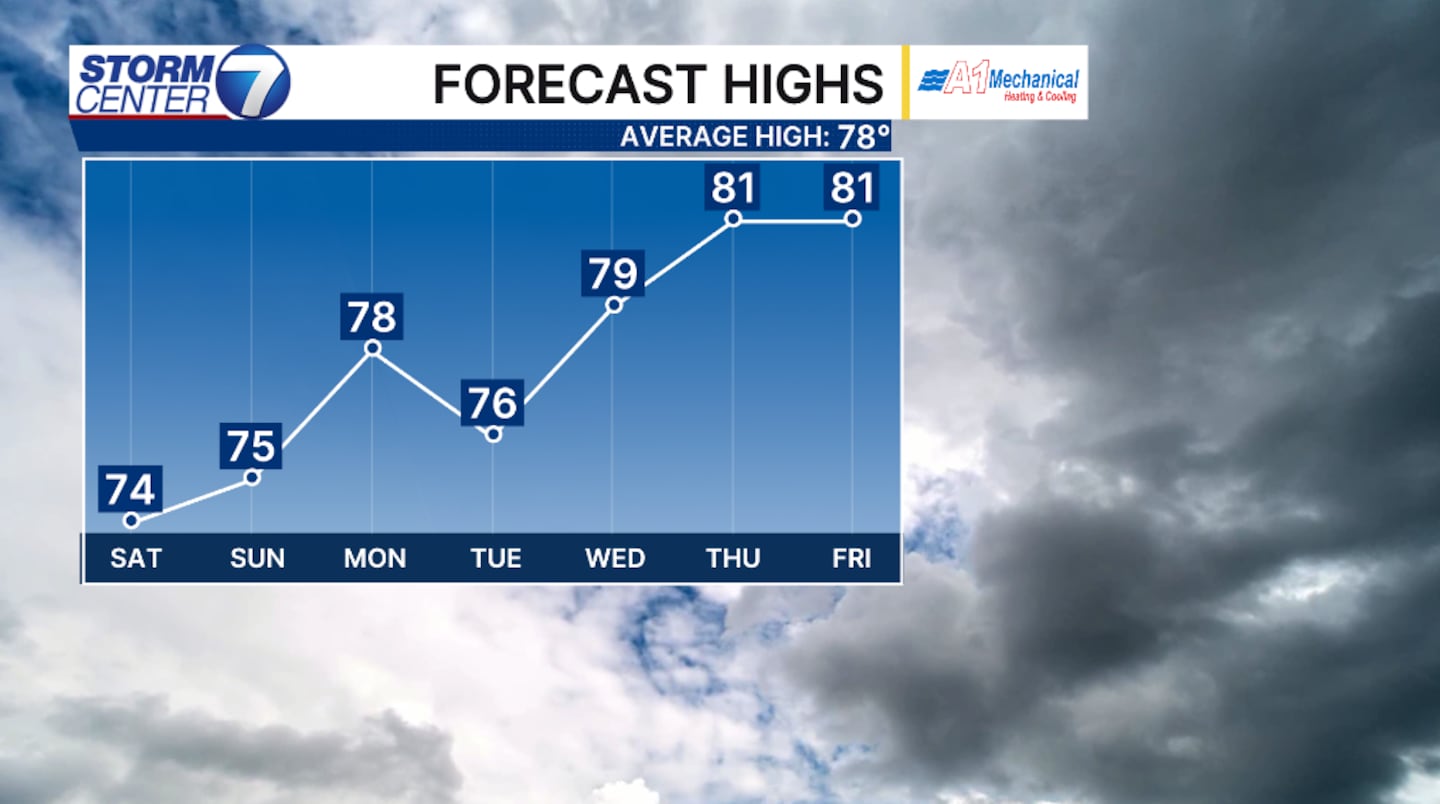
This allows for our temperatures to stay seasonally cool.
[DOWNLOAD: Free Storm Center 7 Weather app for alerts as news breaks]
High temperatures throughout the weekend will hold around 75 degrees.
The reason we’ll stay a few degrees colder is due to the wind speed picking up out of the northeast with gusts over 20 MPH, and a few more clouds move in early Saturday morning.
[WATCH Storm Center 7 Weather on the following devices]
Cold cover off and on throughout the weekend is the extent of our moisture.
The Omega Block Pattern is an area of high pressure trapped between two lows, with nothing to break down the ridge.
As a result, this typically means the drier weather holds for an extended period of time.
The Climate Prediction Center indicates that we will hold where we should be for precipitation through the first week of June.
©2026 Cox Media Group


