
DAYTON — Good evening to you on this Saturday. Meteorologist Nick Dunn here with you to update the forecast on what has been a nice day. Clouds gave way to sun and we climbed into the 60s and 70s for high temperatures.
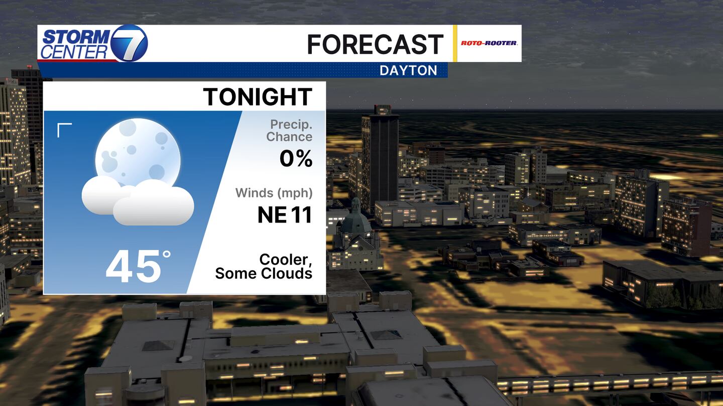
Tonight will be a bit cooler with a few passing clouds and lows in the middle 40s. A bit of a breeze from the northeast will make it feel refreshing.
[DOWNLOAD: Free Storm Center 7 Weather app for alerts as news breaks]

For Sunday we start with a few clouds before turning mostly sunny. Highs will top out in the upper 60s and lower 70s to end a quiet weekend of weather. Things look to change a bit into late Monday night.

The Storm Prediction Center has us highlighted in a Level 1 (Marginal) to Level 2 (Slight) Risk for severe storms for the nighttime hours on Monday into early Tuesday. Being a few days out, the risk areas are subject to change. A line of storms weakening as it moves in could bring some strong winds as the main hazard.
[WATCH Storm Center 7 Weather on the following devices]

Futurecast currently has storms arriving after midnight and ending before sunrise. The timing is subject to shifts earlier or later, of which will either increase or decrease the severe risk. The best tornado threat is across Indiana and Illinois. Stay tuned as we get more data and gain higher confidence in the forecast.
©2026 Cox Media Group


