
DAYTON — Several chances for severe weather are possible Monday and Tuesday. Wednesday, a few stronger storms are possible. A cold front is meandering to our north and will begin to stall over the Miami Valley.
This will allow for lift but also keep temperatures warm and moisture levels high. These are all ingredients for stronger storms.
[DOWNLOAD: Free Storm Center 7 Weather app for alerts as news breaks]
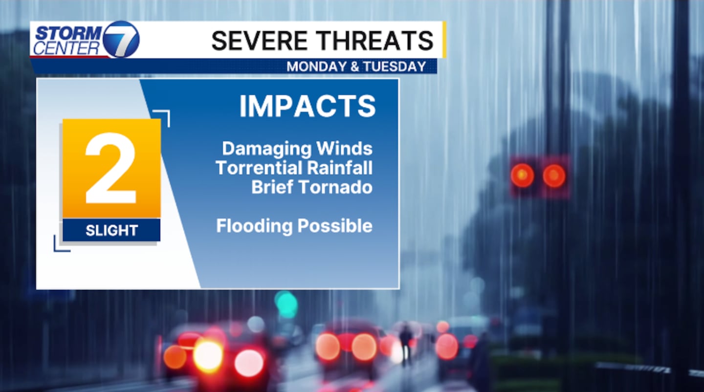
All hazards are possible. Damaging winds in excess of 60 mph is the primary threat. Small hail and isolated tornadoes are possible, but the threats are low.
Localized flash flooding will become a concern where heavier downpours set up; over 3 inches of rain can occur.
[WATCH Storm Center 7 Weather on the following devices]
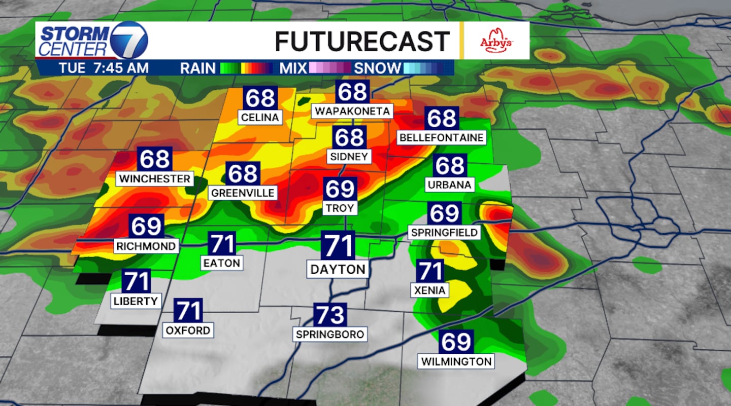
Timing is difficult to narrow in on, but after 3PM strong to severe storms are possible. The threats will linger through the overnight hours and into Tuesday.
Once again, Tuesday afternoon and evening will bring the threat for stronger storms with all hazards possible.
©2026 Cox Media Group


