
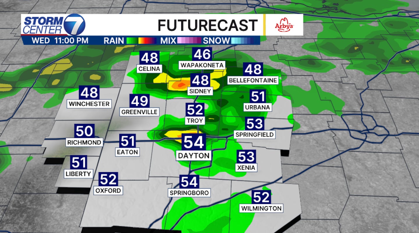
DAYTON — Beginning this Wednesday evening, mainly after 7PM, rain and a few storms are possible. The severe weather threat is extremely low, but a few strong storms can’t be ruled out with the initial line that develops the the west of the Miami Valley. Wind will be the biggest threat, but again the threat is low. Severe weather is more likely in southern Indiana, but even then the threats aren’t likely.
[DOWNLOAD: Free Storm Center 7 Weather app for alerts as news breaks]
This same system will continue a light to moderate scattered rain chance through Thursday. This will be a cold rain with high temperatures now in the 40s. As the area of low pressure pushes eastward into Friday morning, temperatures will drop into the 20s and 30s.
[WATCH Storm Center 7 Weather on the following devices]
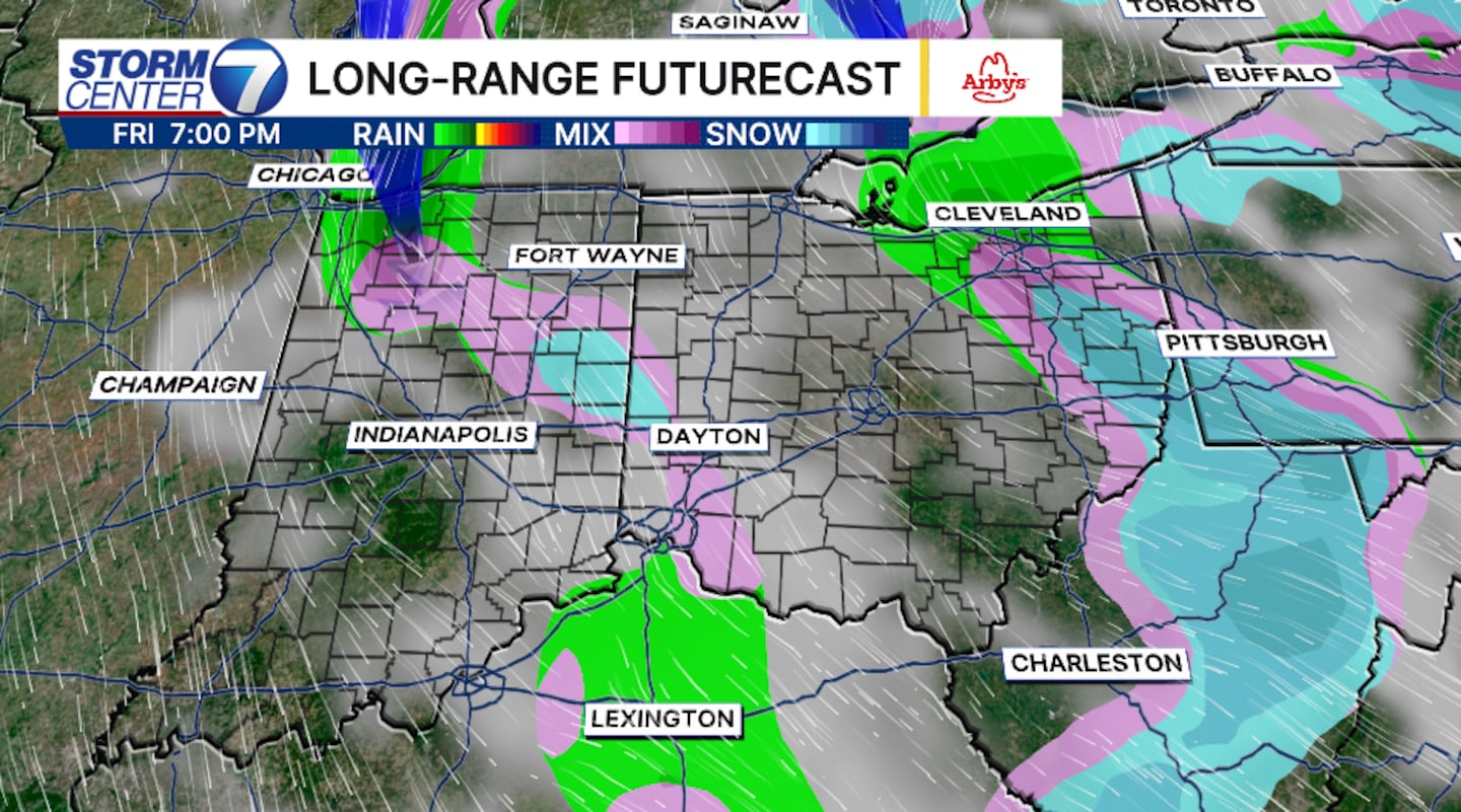
If there is any moisture left on the backside of this low, it will be cold enough to support flurries and only flurries. This will be more likely east of I75 late Friday and into Saturday. No accumulation is expected.
©2026 Cox Media Group


