A Wind Chill Warning is in effect:
- through 1 p.m. Thursday for Auglaize, Champaign, Clark, Darke, Greene, Logan, Mercer, Miami, Montgomery, Randolph (Indiana), Preble, Shelby and Wayne (Indiana) counties
- from 4 a.m. to 7 p.m. Wednesday for Butler, Clinton and Warren counties.
>> Wind chills explained: How they are calculated, advisories, and tips to stay safe
A Winter Weather Advisory is in effect through 4 a.m. for Butler, Clinton and Warren counties.
A Wind Chill Advisory goes into effect at 7 p.m. Wednesday until 1 p.m. Thursday for Butler, Clinton and Warren counties.

>> Subzero wind chills could force some school districts to issue delays - here’s what you need to know
QUICK-LOOK FORECAST
- Light coating of snow in spots tonight
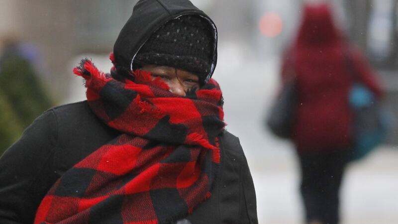
- Dangerously cold air with subzero temperatures
- Temperatures improve over weekend
DETAILED FORECAST
OVERNIGHT: A frigid night is ahead with snow showers, Storm Center 7 Chief Meteorologist McCall Vrydaghs said. Expect a light coating in spots. Overnight temperatures will drop below zero, between minus 5 and minus 10. Wind chills will range from minus 25 to minus 35. Some isolated slick spots are possible in areas where snow has fallen.
>> Tips, warning signs for frostbite, hypothermia
WEDNESDAY: Bitter cold air is expected under windy conditions. Wind chills will range from minus 25 to minus 35 with some northern communities seeing minus 40 wind chills. Air temperatures will be back in the single digits below zero. A few flurries or passing snow showers are possible early. Clouds break for some sunshine. It will be frigid all day with subzero temperatures. The high is expected to reach zero for Dayton, where the record lowest high is 2 degrees, set in 1966. At night, temperatures will drop again to the single digits below zero. Wind chills will be between minus 20 and minus 30.
>> Polar vortex this week reminds us of 2014's 40 below zero wind chills
THURSDAY: Another dangerously cold morning. Wind chills will be slightly better than Wednesday morning, but not by much. Air temperature will be a few degrees below zero. The wind chill in the morning will be minus 20 to minus 30. Winds will relax in the afternoon and clouds increase. At night, a quick system will spread light snow back.
FRIDAY: It won't be as cold with morning temperatures above zero. Roads will be slick for the morning commute. Light snow showers will taper off towards lunchtime. Highs reach into the upper 20s to lower 30s.
SATURDAY: It will be much warmer, with highs around 40 degrees.
SUNDAY: Mostly cloudy and mild conditions are expected with highs in the lower 50s and the chance for a few showers at night.


