
DAYTON — A Severe Thunderstorm Warning was issued for Champaign, Clark, Greene, Miami, and Montgomery Counties until 2:30 p.m.
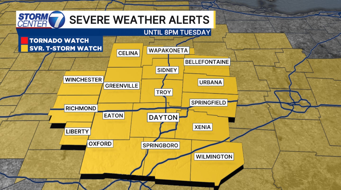
A Severe Thunderstorm Watch was issued for the entire Miami Valley until 8:00 p.m.
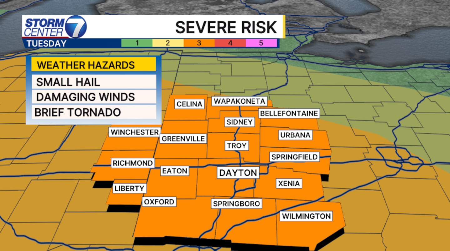
An enhanced risk, a level 3 of 5 from the Storm Prediction Center, is in place for Tuesday for the entire Miami Valley. This means numerous severe storms are possible with several rounds of storms.
[DOWNLOAD: Free Storm Center 7 Weather app for alerts as news breaks]
The first cluster of storms moves through the morning hours. The threats are damaging winds in excess of 60 MPH and torrential flooding rains. The timing is roughly 8 AM to 10 PM.
The second cluster will arrive late afternoon and evening. Timing is difficult with this due to the lack of organization and storms still in Iowa as of Tuesday morning.
[WATCH Storm Center 7 Weather on the following devices]
The severity of the second round will be dependent of the first cluster. The question is if our atmosphere can recover and destablize in time, allowing for the energy the storms need to thrive.

Storm threats through the afternoon and evening are once again damaging winds and torrential flooding rains, but small hail and isolated tornadoes are possible. The tornado threat is extremely low, but it exists.
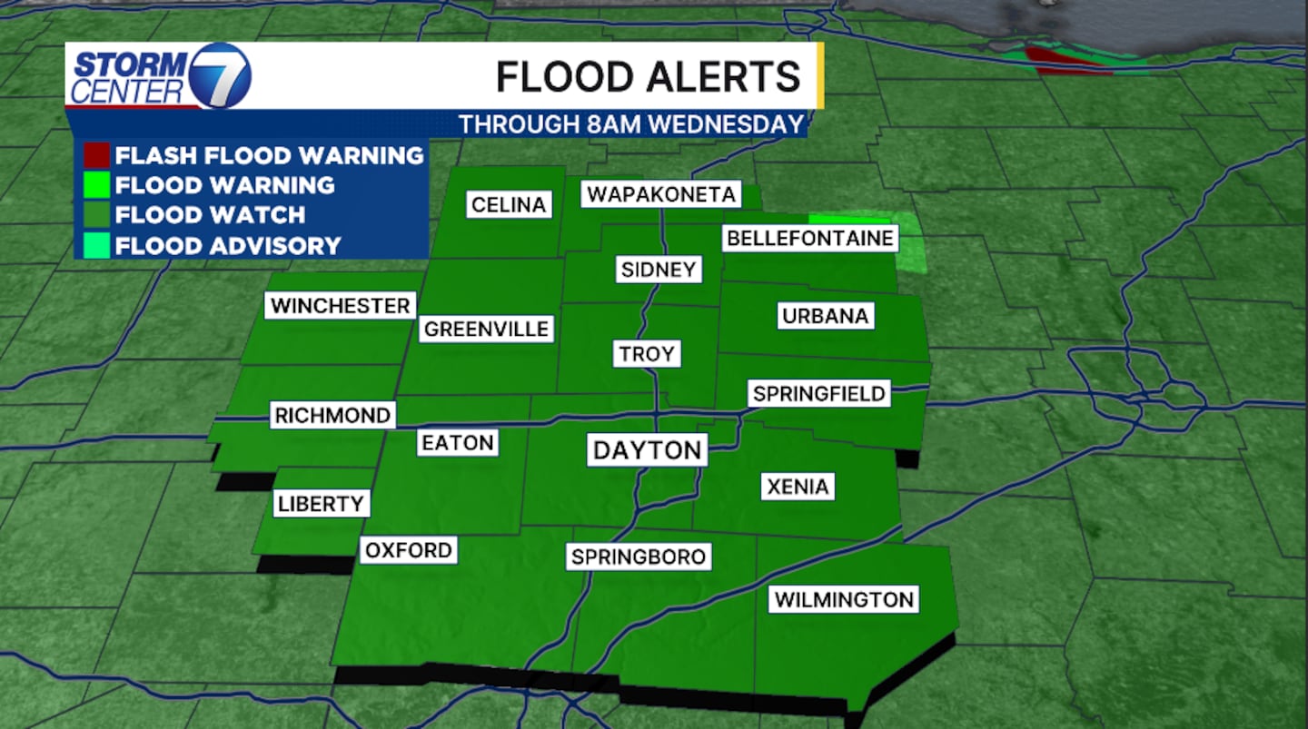
Flooding is becoming more likely with an additional 2 to 4 inches of rain through Friday. Isolated higher amounts are likely under heavier downpours. A flood watch is in effect for the entire Miami Valley until 8 AM Wednesday.
©2026 Cox Media Group


