
DAYTON — The next area of low pressure that will bring the Miami Valley rain and storm chances is currently developing to near the Dakotas.
This will slide over SW Ohio as a cold front reinforcing the cooler and drier air, but not before bringing good rain with it. While the Miami Valley isn’t under a drought, much of the area hasn’t accumulated decent rain in over a week due to last weeks dangerous heat dome.
[DOWNLOAD: Free Storm Center 7 Weather app for alerts as news breaks]
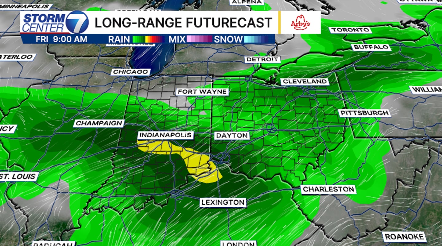
Rain chances will increase late Thursday. Rain and storms will be scattered in nature throughout the evening Thursday and into Friday morning. At this time, the heaviest and steadier rain arrive late Friday and into the early morning hours Saturday.
Due to the amount of time before this event takes place, timing can still change.
[WATCH Storm Center 7 Weather on the following devices]
Rainfall totals will range between 1 to 2 inches begining Thursday through Saturday. Isolated higher amounts are possible under heavier thunderstorms. Localized flooding may become a concern. With high rain rates and dry grounds, the water can’t get absorbed quick enough.
©2026 Cox Media Group


