
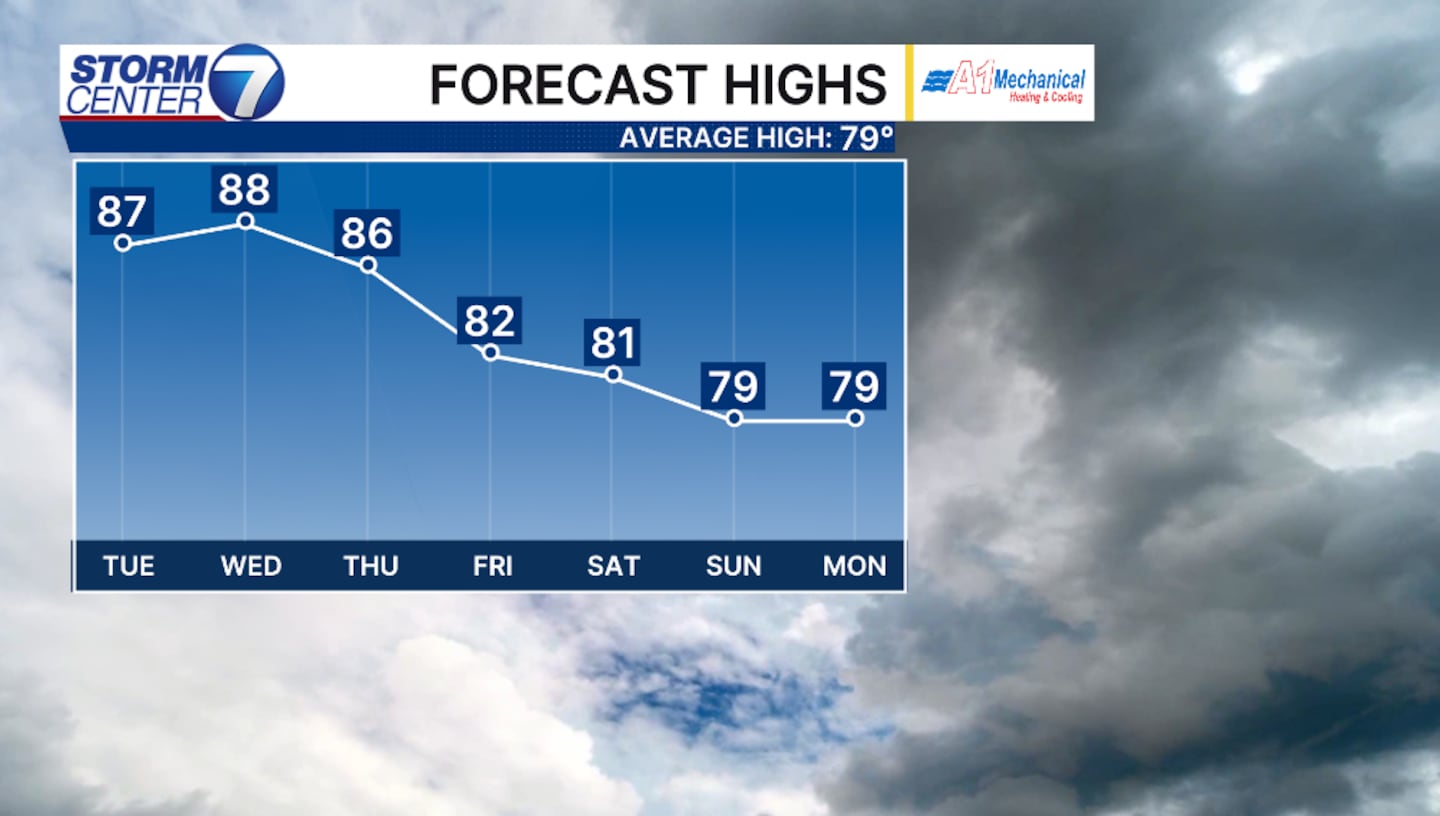
DAYTON — High temperatures will climb closer to 90 degrees beginning Tuesday and lingering through much of this week. An area of high pressure will shift eastward and switch winds back to the south and southwest. This will draw in the the heat, but also the humidity will rise. Heat index values will rise into the middle to upper 90s through Thursday.
[DOWNLOAD: Free Storm Center 7 Weather app for alerts as news breaks]
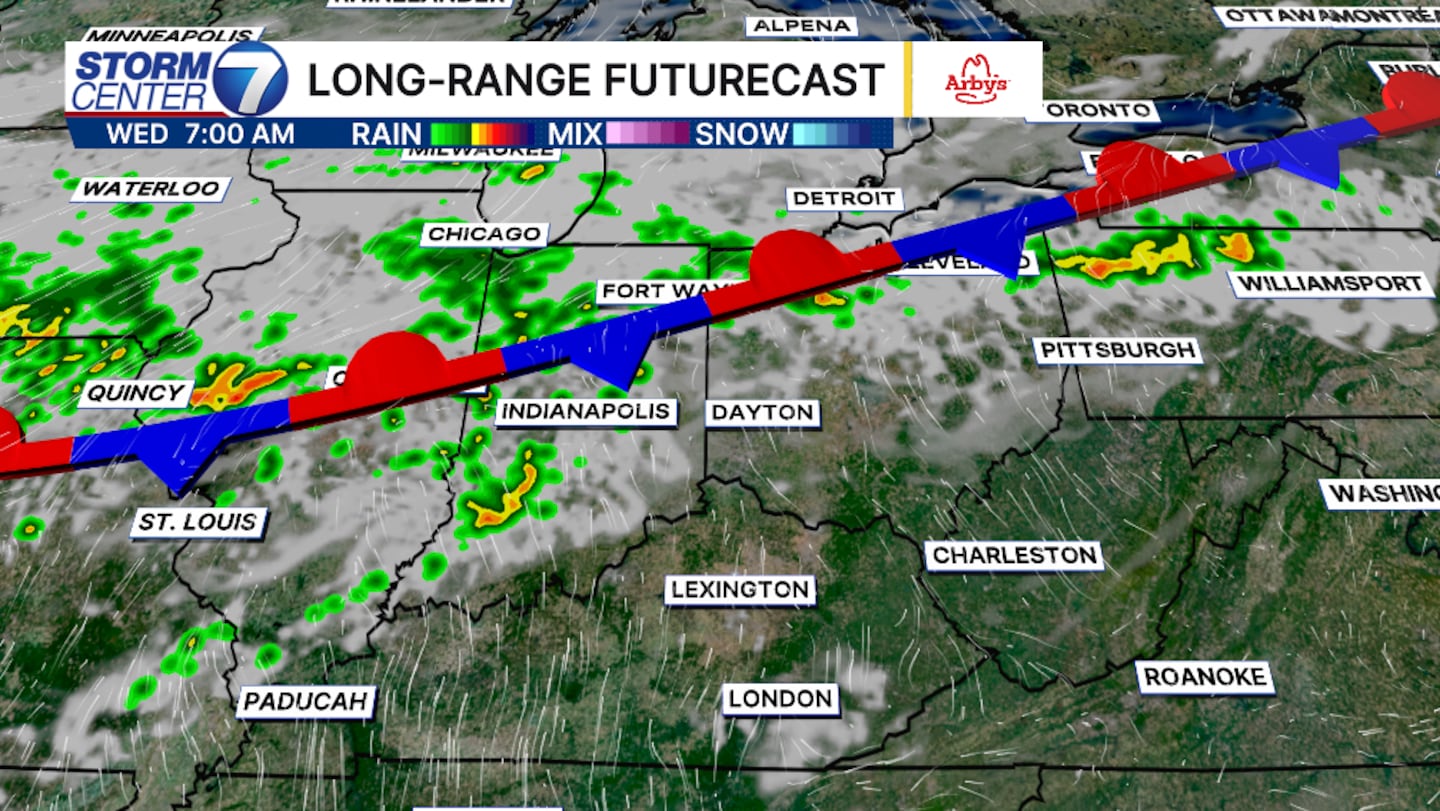
Unfortunately, the cold front that is inching our direction won’t pass through. This front will actually stall over the Miami Valley and linger rain and storm chances through the week and even into the weekend.
[WATCH Storm Center 7 Weather on the following devices]
This will not be a washout event, but rain and storms will be possible. The best chances will arrive Wednesday and again Thursday. Now through Friday rainfall totals will amount to roughly 1 inch.
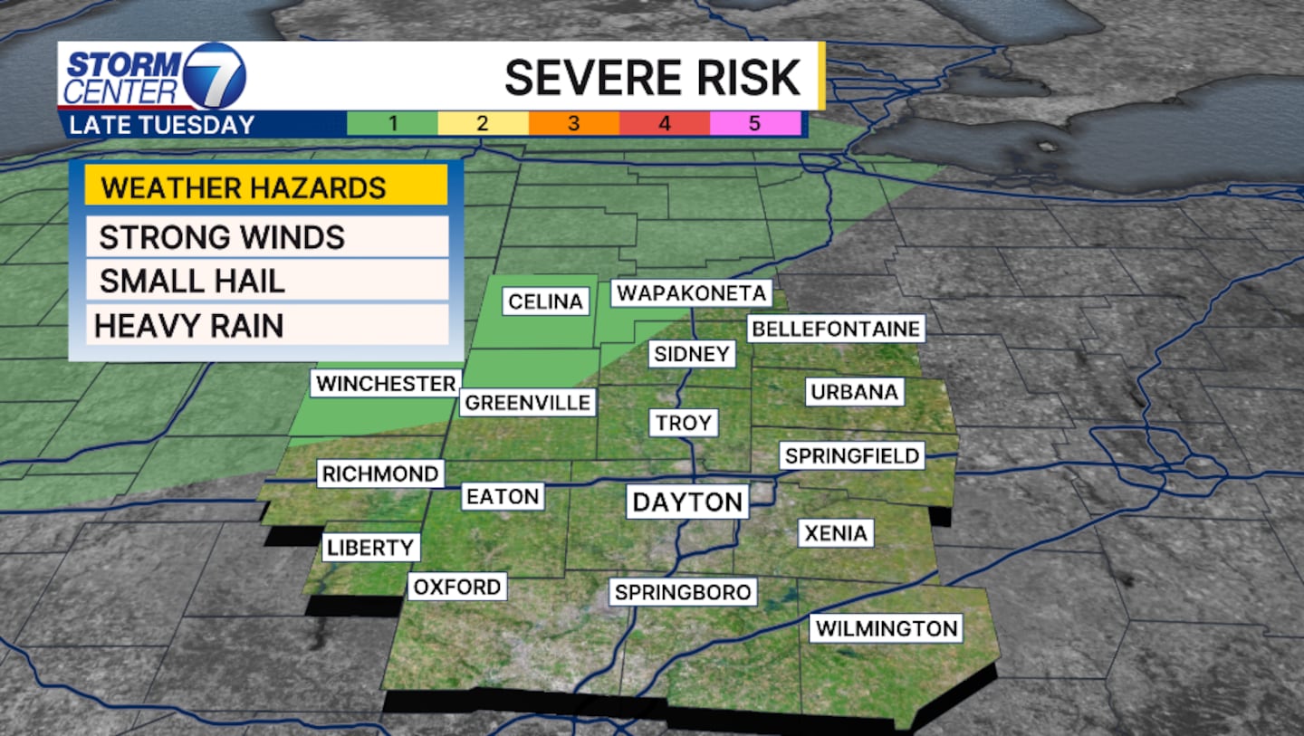
Late Tuesday into Wednesday a marginal risk, level 1 of 5 has been issued for the northwest side of the Valley. This means an isolated severe storm is possible capable of producing strong winds and small hail with heavy downpours. The threats are extremely low.
©2026 Cox Media Group


