
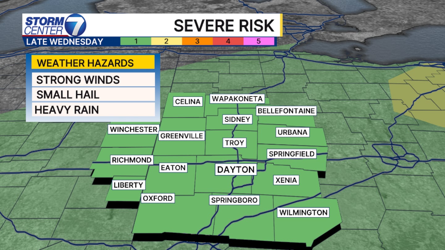
DAYTON — An increase if rain and storm chances arrive late Wednesday and throughout Thursday. A marginal risk for an isolated severe storm is in place for the entire Miami Valley. Damaging winds and small hail are possible, but not likely.
[DOWNLOAD: Free Storm Center 7 Weather app for alerts as news breaks]
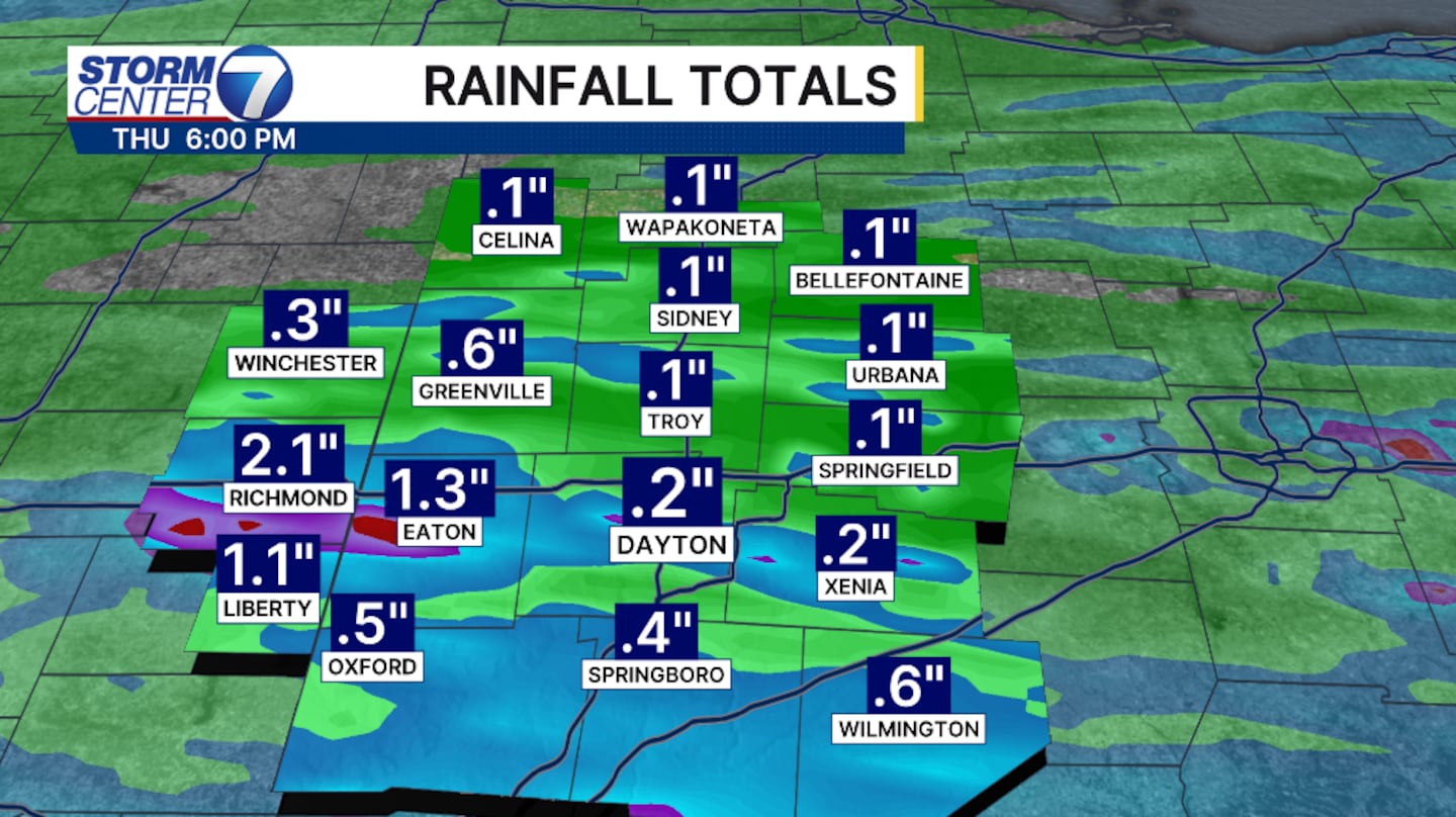
The heaviest rains will arrive overnight and early Thursday morning. Rain and storms will become more scattered throughout the afternoon Thursday, but can be heavy at times. This will continue through the evening Thursday. Rainfall totals will amount to roughly 1 to 2 inches. Isolated higher amounts are possible under heavy downpours.
[WATCH Storm Center 7 Weather on the following devices]
The heavist banding looks to stay along I70 and south. Localized flash flooding is possible. Please pay attention during your Thursday morning commute with heavy rain expected.
©2026 Cox Media Group


