
DAYTON — A flood watch has been extended for the entire Miami Valley until 11 PM Wednesday evening.
An additional 1 to 3 inches of rain are possible Wednesday alone.
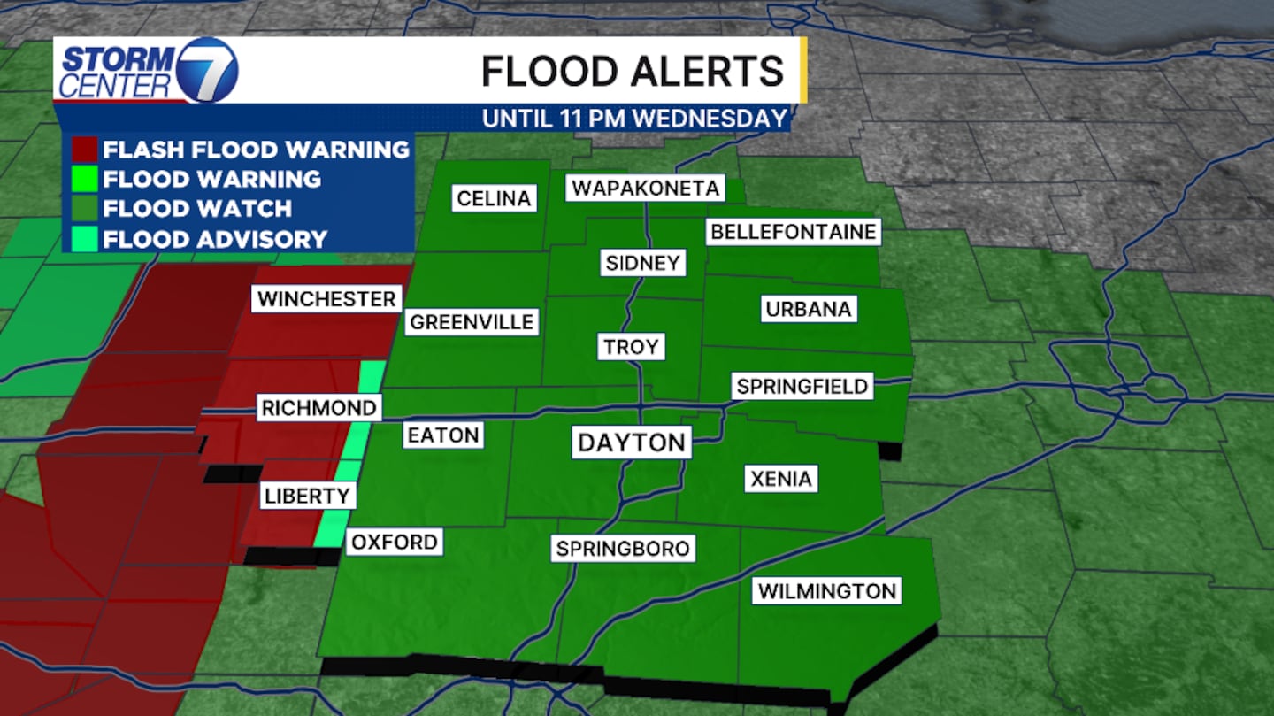
Timing of the heavy rain and stronger storms linger through the entire day.
Heaviest rain is forecast for the entire Valley through the afternoon and evening.
[DOWNLOAD: Free Storm Center 7 Weather app for alerts as news breaks]
Rivers and creek beds will begin spilling over their banks, and low-lying areas are most vulnerable.
Flash flooding will also be a threat with slow-moving storms.
At this point, gusty winds will become a concern with a few storms. Gusts can reach around 60 MPH.
The threat for severe weather is significantly lower than yesterday.
[WATCH Storm Center 7 Weather on the following devices]
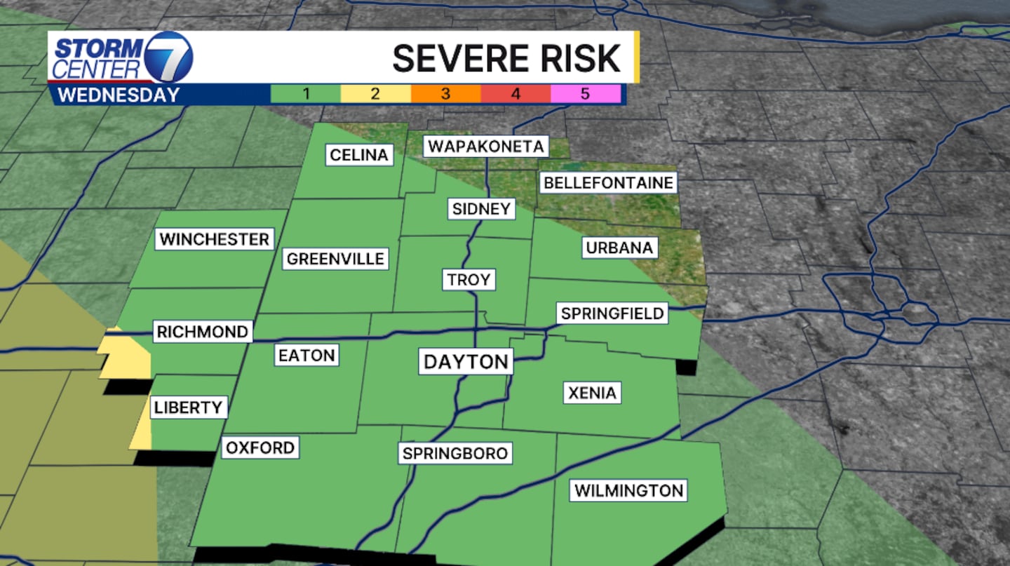
The Storm Prediction Center has the entire Valley under a level 1 of 5, a marginal risk for isolated severe storms.
©2026 Cox Media Group


