>>TRACK THE LATEST CONDITIONS: Live Doppler 7 Radar<<
A Flood Warning has been issued for Butler County until 5 a.m. Tuesday.
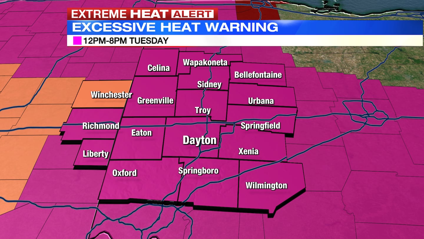
An Excessive Heat Warning goes into effect Tuesday at noon for the entire region until 9 p.m.
QUICK-LOOK FORECAST:
- More storms possible this evening and tonight
- Excessive Heat Warning
- Staying hot through mid-week
DETAILED FORECAST:
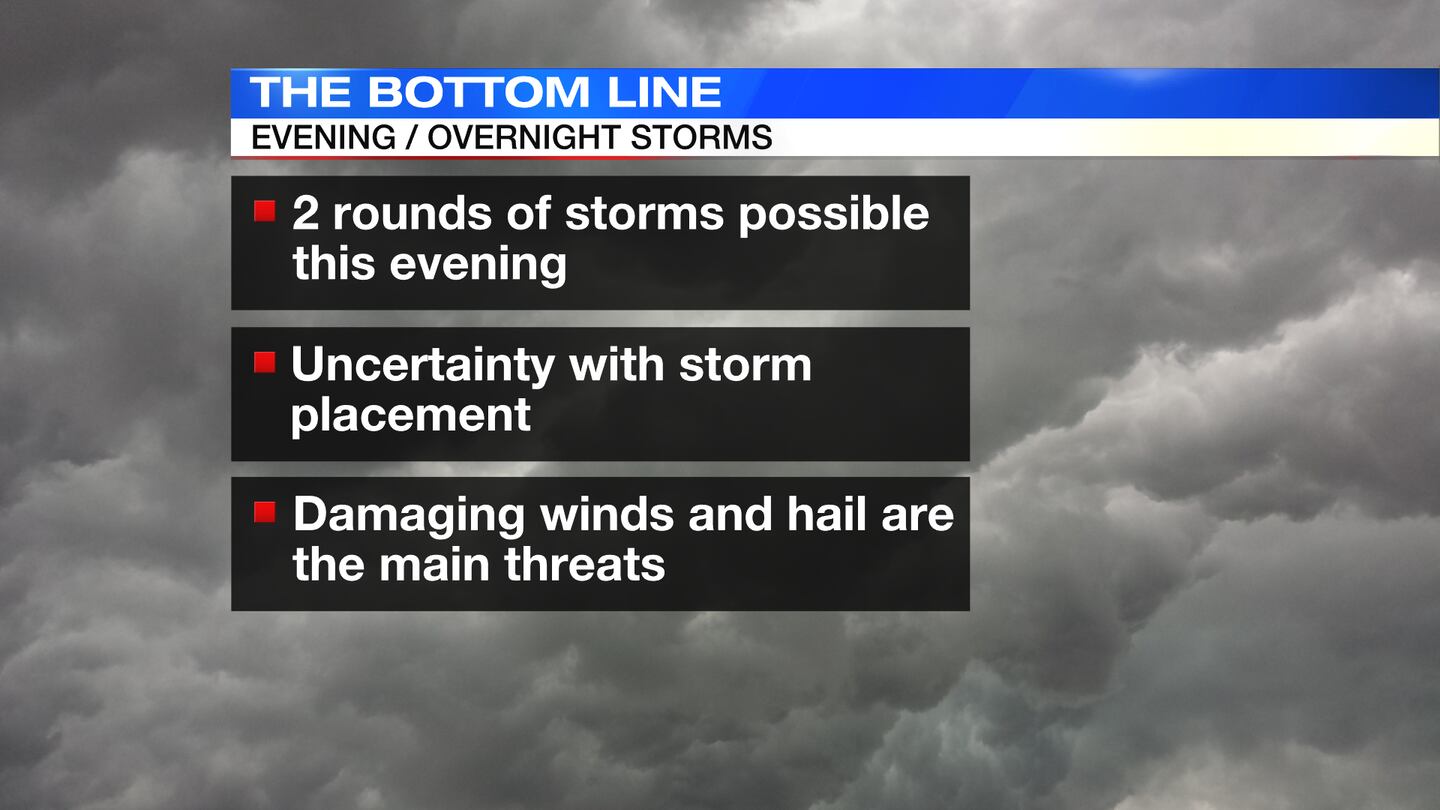
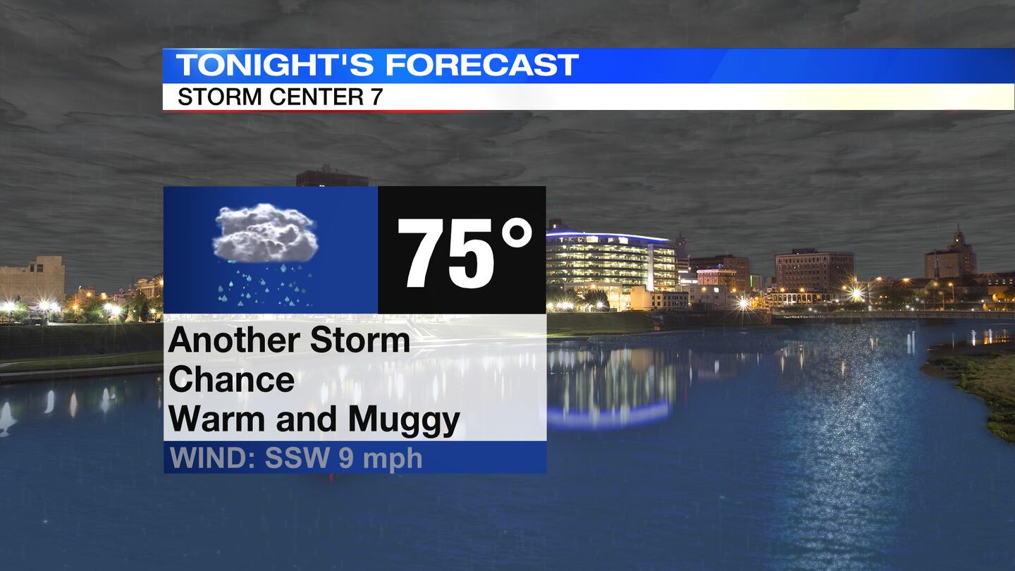
TODAY: Two different rounds of storms possible. Round one is approaching the Miami Valley as of 3:50 p.m. Round two may clip northern parts of the Miami Valley after 11 p.m. tonight. With both rounds, severe storms are possible. Damaging wind gusts will be the main threat, but some hail and the a brief tornado are also possible.
TUESDAY: Mostly sunny and hot. An Excessive Heat Warning is in effect. This heat will likely be record setting with a high of 97 expected in Dayton. The record high for the day is 94 degrees set back in 1988. With humidity factored in, it could feel as hot as 107 degrees at times. Lows only fall to the middle 70s Tuesday night.
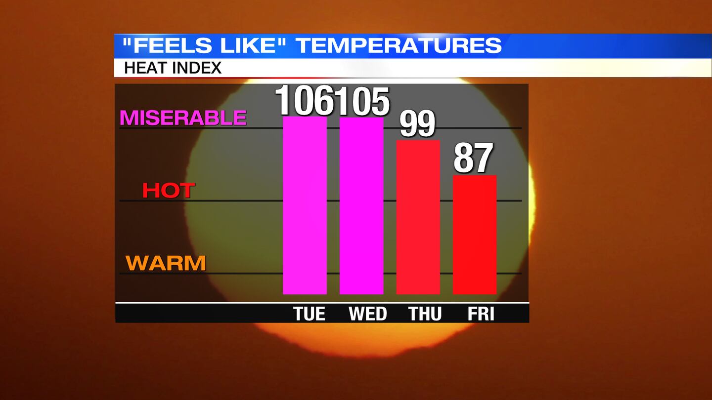
WEDNESDAY: Mostly sunny and hot again. Highs climb to the middle 90s, 95 in Dayton. The record high for the day is 96 degrees set back in 1994. “Feels like” temperatures around 105 during the afternoon.
THURSDAY: Partly sunny and hot again. Highs in the lower 90s with heat index values near 100. Temperatures should stay just shy of record territory. A few showers or storms may cool us off during the afternoon
FRIDAY: Looking sunny. Not quite as hot with highs in the upper 80s. A stray shower or storm is possible.
SATURDAY: Partly cloudy and mainly dry with highs in the lower 80s.
SUNDAY: Mostly sunny and mainly dry with highs in mid 80s.
MONDAY: Partly sunny with pop-up showers and storms during the afternoon. Highs in the mid to upper 80s.
©2022 Cox Media Group