
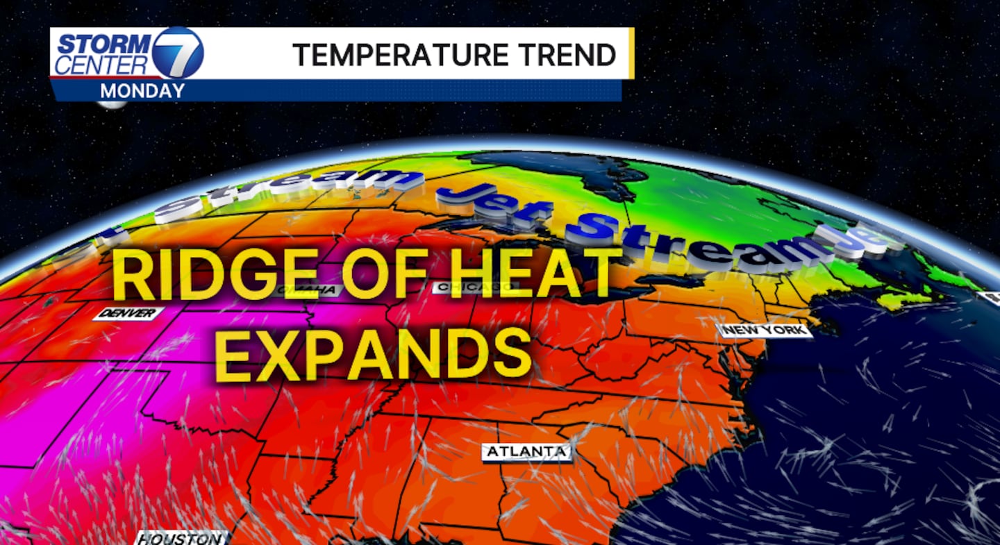
DAYTON — A weak ridge of high pressure is pushing eastward over the upcoming weeks.
This will allow for much-needed dry time, but unfortunately it will remove the cool and comfortable air.
[DOWNLOAD: Free Storm Center 7 Weather app for alerts as news breaks]
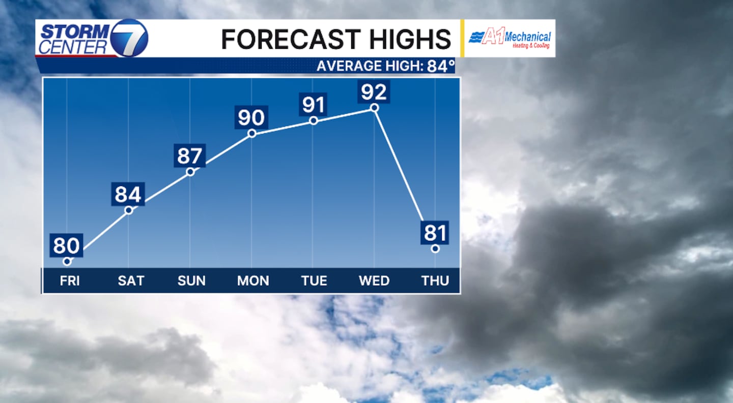
High temperatures to end the month of August and begin September, meteorological fall will push into the low 90s.
By definition, a true heat wave requires three consecutive 90-degree-plus days.
Our forecast calls for this beginning Monday and lingering into the first two days of September.
It’s not uncommon to have 90-degree days in September.
In fact, the average last 90-degree day at the Dayton International Airport is September 4th.
The record is October 15 back in 1899.
[WATCH Storm Center 7 Weather on the following devices]
The last time Dayton International reported a high temperature in the 90s in the month of October was in 2019, reporting 94 degrees for the first two days of the month.
Last year, there were no 90-degree days reported in the month of September.
However, 2024 was different.
We in fact had another heat wave with four consecutive days of 90-plus degrees.
The max high for September 2024 was 93 degrees, and that was met twice.
In 2023, Dayton International reported two 90-plus-degree days in September.
In 2022, only one 90-degree day was reported.
Going back to 2021, one 90-degree day.
©2026 Cox Media Group


