The Miami Valley is still feeling the effects of severe storms that hit the area Tuesday afternoon and evening.
A Flood Warning remains in effect until 10 a.m. today for Greene and Warren counties.
>> RECORD RAINFALL: NEW RECORD SET IN DAYTON
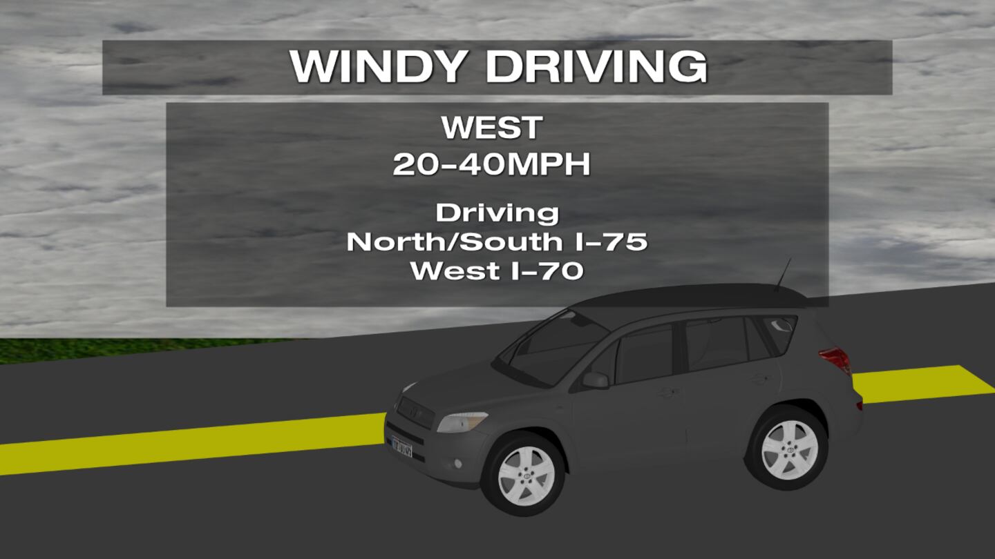
>> IMPACTING YOUR DRIVE: STRONG WINDS CAN MAKE DRIVING HAZARDOUS
QUICK-LOOK FORECAST
- Windy: Gusts over 35 mph
- Chance of showers late Thursday
- Chance of rain changing to snow Friday night
DETAILED FORECAST
Overnight: Mainly cloudy, windy and chilly through the night. Gusts slowly subsiding overnight after reaching 30 to 40 mph. Temperatures to fall into the upper 20s by morning.
PHOTOS: Strong storms, winds wreak havoc on the Miami Valley
>> NWS to survey South Charleston, Greene County to confirm tornado reports
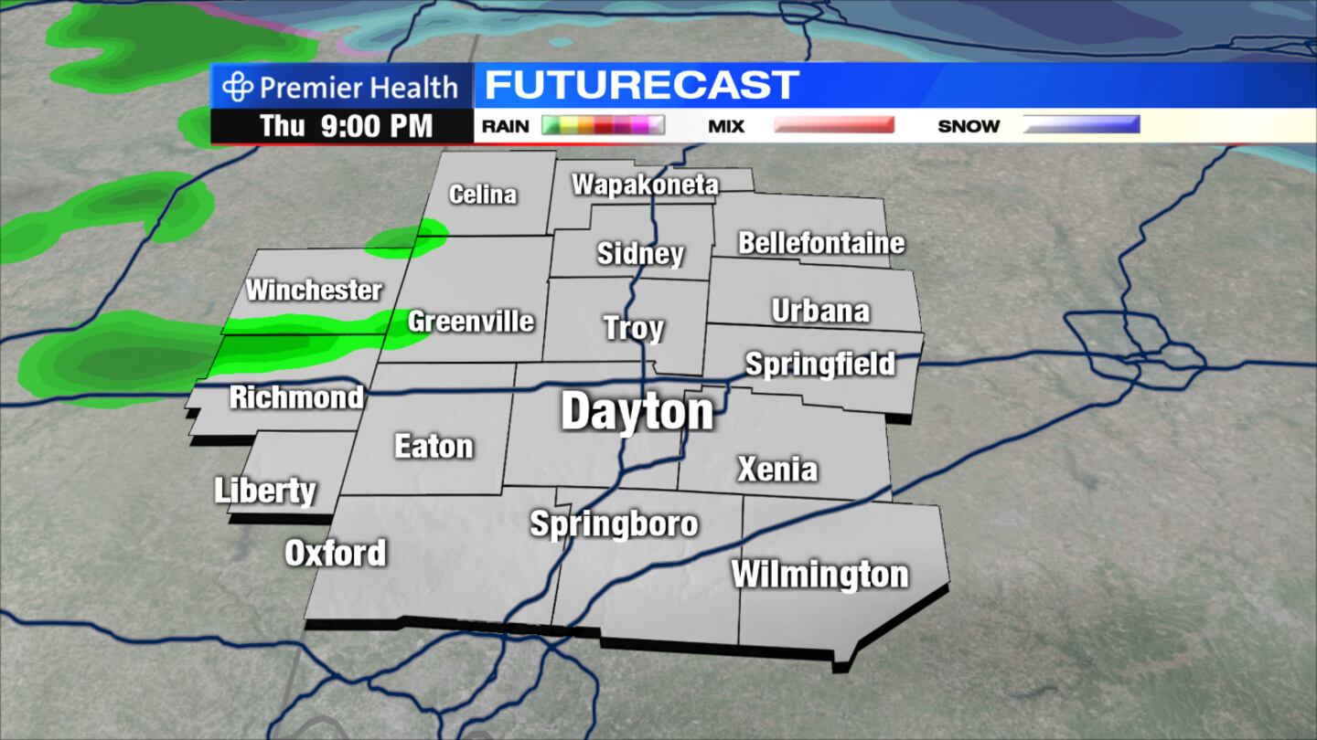
Today: Morning sun will give way to cloudy skies with a chance for showers late in the afternoon and through the evening. Some snowflakes could mix with the rain, especially in northern counties. Highs will reach the middle 40s with overnight lows dropping into the middle 30s.
Friday: Mostly cloudy, breezy, and cool with a chance for rain and snow showers into the evening. Precipitation will change over to all snow showers through the night with a light accumulation possible by Saturday morning. Highs will reach the upper 40s with overnight lows dropping into the lower 20s.
Saturday: Any snow that accumulates will likely melt after sunrise. Clouds will decrease, but we'll be cloudy and cool with highs only in the upper 30s.
Sunday: Morning sun gives way to cloudy skies and a chilly day with highs only in the upper 30s. Rain or snow showers could develop into Sunday night.
Monday: A chance for a few snow showers early, then clouds linger during the day. A cool day with highs in the lower to middle 40s.


